Town Fortifications · Undated
Ehemaliges Osttor der Stadtbefestigung


© GeoBasis-DE / LVermGeoRP, dl-de/by-2-0
There is no picture of this object yet. Do you have a photo that you would like to make available to the Kulturdatenbank? Submit a picture
Classification
- Subject area
- Architectural and Art Monuments
- Object type
- Town Fortifications
- Date
- Undatiert
- Period
- Undated
Location
- District
- Vulkaneifel
- Town
- Gerolstein
- Street
- Hauptstraße 91
- Field name
- Ortslage
- Coordinates
- WGS 84: 50.222300, 6.668660 (Position: exact) WGS 84: 50° 13′ 20.3″ N, 6° 40′ 07.2″ E UTM 32 (ETRS89): E 333700 · N 5565948
Sources
Data sources
- Zeichnung Burgruine "Löwenburg" und alter Stadtkern von Karl-Heinz Böffgen.
On the internet
Last edited: 5 May 2014 Object ID: 34612
https://kulturdb.de/en/objekt/34612-gerolstein-ehemaliges-osttor-der-stadtbefestigung
Nearby
The nearest objects
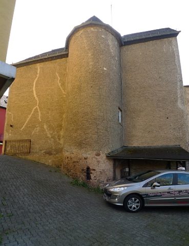 less than 10 m
Town Fortifications
Turmhaus Hauptstraße 91
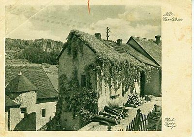 40 m
Farmhouses and Farm Buildings
Malerisches altes Haus
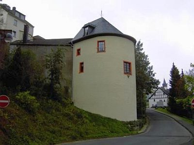 50 m
Town Fortifications
Wehrturm der Stadtbefestigungsanlage
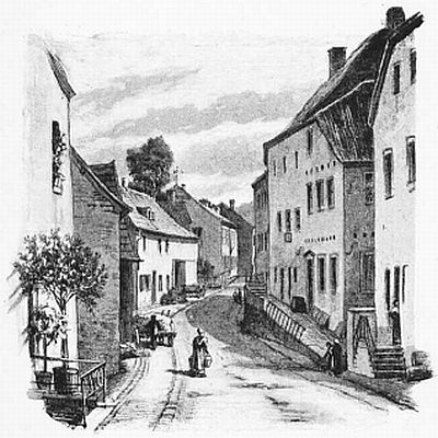 60 m
Historic Townscapes
Hauptstraße
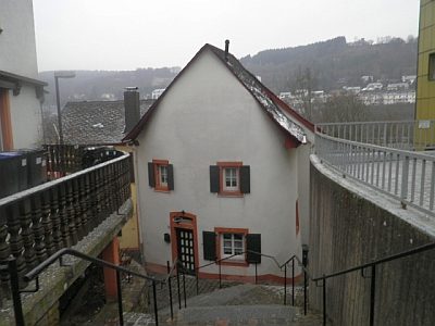 60 m
Town Houses and Commercial Buildings
Wohnhaus
No picture
60 m
Field Names
Im untersten Bungert
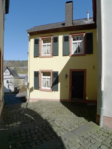 70 m
Town Houses and Commercial Buildings
Wohnhaus
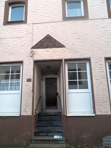 70 m
Historic Townscapes