Shooting Ranges · 20th Century
Schießstand

Description
This description is only available in German.
Translate with Google opens this page in Google Translate (external service)
Die Schießstände wurden für die Soldaten der alten Hornkaserne (erbaut 1889-1892) Trier-West gebaut. [1]
Classification
- Subject area
- Architectural and Art Monuments
- Category
- Recreation and Sports Facilities
- Object type
- Shooting Ranges
- Date
- 1935
- Period
- 20th Century
Location
- District
- City of Trier
- Collective municipality
- Verbandsfreie Gemeinde Trier
- Town
- Trier
- Locality / location
- Euren
- Street
- Waldfrieden 2
- Field name
- Eurener Wald
- Coordinates
- WGS 84: 49.746453, 6.591901 (Position: exact) WGS 84: 49° 44′ 47.2″ N, 6° 35′ 30.8″ E UTM 32 (ETRS89): E 326521 · N 5513224
Sources
Data sources
- [1] Jörg Busch, Trier-Biewer, 2022.
- [2] Topographische Karte 1:25000 von 1935 https://geo4.service24.rlp.de/client/lf/lawa/
On the internet
Picture credits
- Picture 1: Ansichtskarte von 1905. Sammlung: Jörg Busch, Trier-Biewer, 2020.
Last edited: 23 Dec 2022 Object ID: 34736
https://kulturdb.de/en/objekt/34736-trier-schiessstand
Nearby
The nearest objects
Works of Art
Cocoon
 470 m
Markers and Monuments
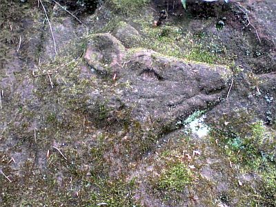
Felsrelief am Echternacher Berg
 520 m
Wayside Shrines and Stations of the Cross
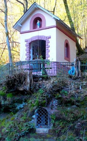
Talbildchen mit Kapelle
 550 m
Wayside Shrines and Stations of the Cross
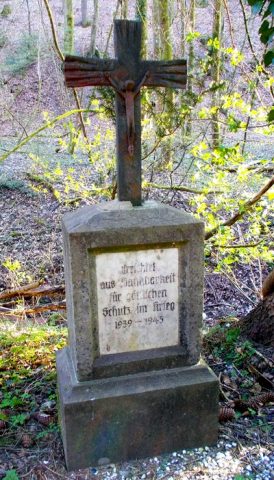
Votivkreuz
Washing Places
Ehemaliger Bleichplatz für Wäsche
Town Houses and Commercial Buildings
Haus Proppe
Field Names
Bei der Schultesgrub
Field Names