Deserted Settlements · Renaissance
Wüstung Hilgerath


© GeoBasis-DE / LVermGeoRP, dl-de/by-2-0
There is no picture of this object yet. Do you have a photo that you would like to make available to the Kulturdatenbank? Submit a picture
Description
This description is only available in German.
Translate with Google opens this page in Google Translate (external service)
Hilgerath [...] ging zu Beginn des 16 Jahrhunderts in Folg einer Seuche aus; lediglich die Kirche blieb bestehen und diente weiterhin als Pfarrkirche für Beinhausen, Boxberg, Gefell, Hörschhausen, Katzwinkel, Kradenbach, Neichen, Nerdlen und Sarmersbach. Hilgerath war ehemals Hauptort der Zenderei Sarmersbach gewesen, die später öfter auch als "Hilgerather Kerspel" bezeichnet wird. [1]
Classification
- Subject area
- Archaeological Monuments
- Category
- Settlements
- Object type
- Deserted Settlements
- Date
- Circa 1500 bis circa 1700
- Period
- Renaissance
Location
- District
- Vulkaneifel
- Collective municipality
- Kelberg
- Municipality
- Neichen
- Locality / location
- Kirche Hilgerath
- Field name
- Auf Hilgerath
- Coordinates
- WGS 84: 50.256120, 6.880890 (Position: exact) WGS 84: 50° 15′ 22.0″ N, 6° 52′ 51.2″ E UTM 32 (ETRS89): E 348944 · N 5569256
Sources
Data sources
- [1] Janssen, Franz Roman: Kurtrier in seinen Ämtern vornehmlich im 16. Jahrhundert. Ludwig Röhrscheid Verlag, Bonn, 1985.
On the internet
Last edited: 27 Jun 2014 Object ID: 34874
https://kulturdb.de/en/objekt/34874-neichen-wuestung-hilgerath
Nearby
The nearest objects
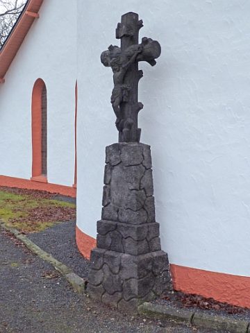 50 m
Catholic Churches
Hilgerather Kirche - Kreuz
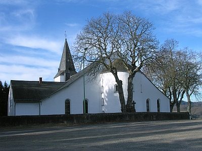 60 m
Catholic Churches
Hilgerather Kirche (1)
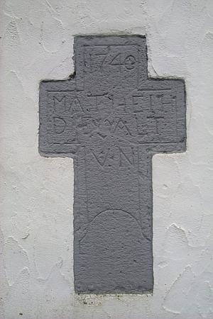 60 m
Pilgrimage Sites
Hilgerather Kirche - Wallfahrtsstätte
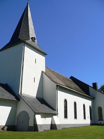 60 m
Catholic Churches
Hilgerather Kirche (2)
Cremation Graves
Brand- und Körpergräber
Field Names
Auf Hilgerath
 120 m
Chapels
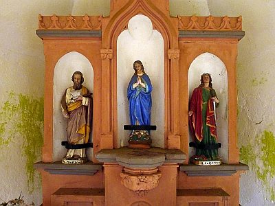
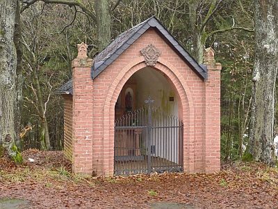
Wegekapelle (2)
 120 m
Chapels