Castles · Early Middle Ages / Romanesque
Burghaus
- Listed monument


© GeoBasis-DE / LVermGeoRP, dl-de/by-2-0
There is no picture of this object yet. Do you have a photo that you would like to make available to the Kulturdatenbank? Submit a picture
Description
This description is only available in German.
Translate with Google opens this page in Google Translate (external service)
Reste im Keller des Pfarrhauses.
Classification
- Subject area
- Architectural and Art Monuments
- Object type
- Castles
- Date
- 1096 [Erwähnung]
Location
- District
- Trier-Saarburg
- Collective municipality
- Trier-Land
- Municipality
- Ralingen
- Locality / location
- Edingen
- Street
- Lambertusstraße 19
- Field name
- Ortslage
- Coordinates
- WGS 84: 49.814960, 6.489480 (Position: exact) WGS 84: 49° 48′ 53.9″ N, 6° 29′ 22.1″ E UTM 32 (ETRS89): E 319398 · N 5521081
Sources
Data sources
- Gondorf, Bernhard: Die Burgen der Eifel und ihrer Randgebiete. Verlag J. P. Bachem, Köln, 1984. ISBN 3-7616-0723-7
On the internet
Last edited: 14 Oct 2014 Object ID: 35293
https://kulturdb.de/en/objekt/35293-ralingen-burghaus
Nearby
The nearest objects
Rectories
Pfarrhaus
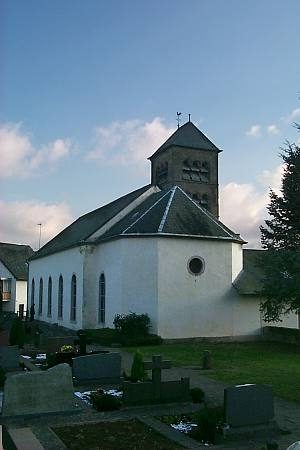 20 m
Surveying
Sonnenuhr an Sankt Lambert
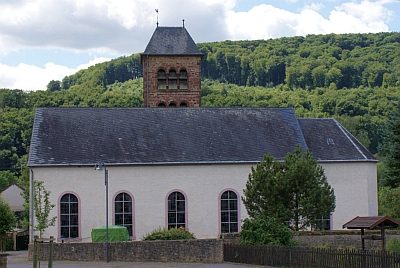 30 m
Catholic Churches
Sankt Lambert
Place Names / Local History
Ortsgeschichte Edingen
Jewish History
Jüdische Geschichte Edingen
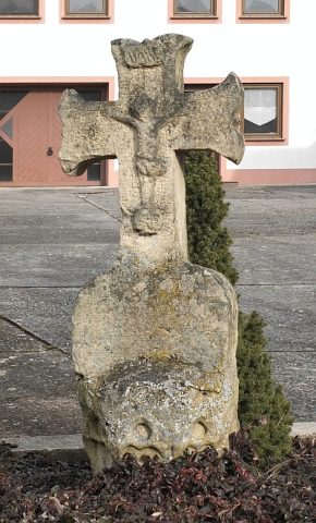 70 m
Wayside Shrines and Stations of the Cross
Schaftkreuz
Field Names
Aufm Bungert
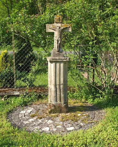 180 m
Wayside Shrines and Stations of the Cross