Wayside Shrines and Stations of the Cross · Renaissance
Schaftkreuz
- Listed monument

Description
This description is only available in German.
Translate with Google opens this page in Google Translate (external service)
Über kurzem achtkantigem, gotischem Pfeilerschaft des 16. Jahrhunderts mit Kapitell aus Spitzbogenkranz ein im 18. Jahrhundert erneuertes Kreuz mit eingekerbten Kreuzenden und herausgearbeitetem Korpus über Totenkopf. [1]
Classification
- Subject area
- Architectural and Art Monuments
- Category
- Religious Buildings
- Object type
- Wayside Shrines and Stations of the Cross
- Date
- 16. Jahrhundert
- Period
- Renaissance
Location
- District
- Trier-Saarburg
- Collective municipality
- Trier-Land
- Municipality
- Ralingen
- Locality / location
- Edingen
- Street
- Bei Lambertusstraße 15
- Field name
- Aufm Bungert
- Coordinates
- WGS 84: 49.814671, 6.490344 (Position: exact) WGS 84: 49° 48′ 52.8″ N, 6° 29′ 25.2″ E UTM 32 (ETRS89): E 319459 · N 5521047
Sources
Data sources
- [1] Denkmaltopographie Bundesrepublik Deutschland. Kulturdenkmäler in Rheinland-Pfalz. Band 12.2 Kreis Trier-Saarburg. Wernersche Verlagsgesellschaft mbH, Worms. ISBN 3-88462-110-6 (1. Auflage 1994).
On the internet
Picture credits
- Picture 1: © Dr. Peter Stolz, Trier, 2021.
Last edited: 1 Aug 2021 Object ID: 9153
https://kulturdb.de/en/objekt/9153-ralingen-schaftkreuz
Nearby
The nearest objects
Place Names / Local History
Ortsgeschichte Edingen
Jewish History
Jüdische Geschichte Edingen
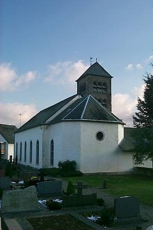 60 m
Surveying
Sonnenuhr an Sankt Lambert
Rectories
Pfarrhaus
Castles
Burghaus
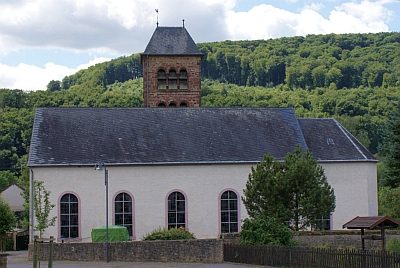 70 m
Catholic Churches
Sankt Lambert
Field Names
Aufm Bungert
Farmhouses and Farm Buildings