Fortresses and Bunkers · Historicism / Art Nouveau
Ehemaliges Pulvermagazin


© GeoBasis-DE / LVermGeoRP, dl-de/by-2-0
There is no picture of this object yet. Do you have a photo that you would like to make available to the Kulturdatenbank? Submit a picture
Classification
- Subject area
- Architectural and Art Monuments
- Object type
- Fortresses and Bunkers
- Date
- 1893
Location
- District
- City of Trier
- Collective municipality
- Verbandsfreie Gemeinde Trier
- Town
- Trier
- Locality / location
- Euren
- Street
- Schweringstraße
- Field name
- Ortslage
- Coordinates
- WGS 84: 49.746294, 6.611276 (Position: exact) WGS 84: 49° 44′ 46.7″ N, 6° 36′ 40.6″ E UTM 32 (ETRS89): E 327916 · N 5513162
Sources
Data sources
- [1] Karte des Deutschen Reiches, 1:100.000, Reichsamt fur Landesaufnahme, Ausgabe von 1893, David Rumsey Historical Map Collection, http://www.davidrumsey.com/
On the internet
Last edited: 9 Dec 2014 Object ID: 35657
https://kulturdb.de/en/objekt/35657-trier-ehemaliges-pulvermagazin
Nearby
The nearest objects
No picture
30 m
Fortresses and Bunkers
Ehemaliges Pulvermagazin
No picture
80 m
Roman Tombs
Römische Grabkammer
No picture
100 m
Roman Tombs
Grabkammern am Reichertsberg
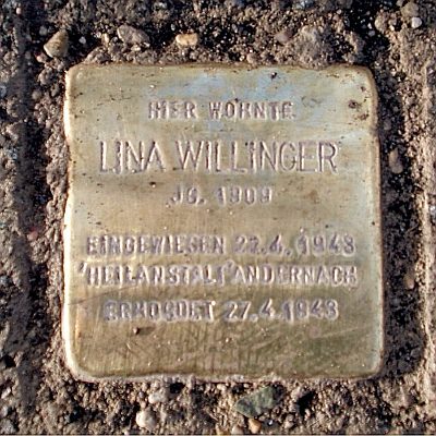 180 m
Stolpersteine (Stumbling Stones)
Stolperstein für Lina Willinger
No picture
200 m
Vineyard Sites
Freiwingert
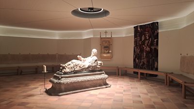 230 m
Catholic Churches
Simeonskrypta
 250 m
Beeches
Blutbuche
No picture
270 m
Field Names