Wayside Shrines and Stations of the Cross · Undated
Wegekreuz


Description
This description is only available in German.
Translate with Google opens this page in Google Translate (external service)
Am rechten Straßenrand der Kreisstraße 125 zwischen Philippsweiler und Mauel. [1]
Classification
- Subject area
- Architectural and Art Monuments
- Category
- Religious Buildings
- Object type
- Wayside Shrines and Stations of the Cross
- Date
- Undatiert
- Period
- Undated
Location
- District
- Eifelkreis Bitburg-Prüm
- Collective municipality
- Arzfeld
- Municipality
- Mauel
- Field name
- In der Erresbach
- Coordinates
- WGS 84: 50.066790, 6.390240 (Position: exact) WGS 84: 50° 04′ 00.4″ N, 6° 23′ 24.9″ E UTM 32 (ETRS89): E 313237 · N 5549319
Sources
Data sources
- [1] Michael Fischer, Waxweiler, 2014.
On the internet
Picture credits
Last edited: 13 Dec 2014 Object ID: 35695
https://kulturdb.de/en/objekt/35695-mauel-wegekreuz
Nearby
The nearest objects
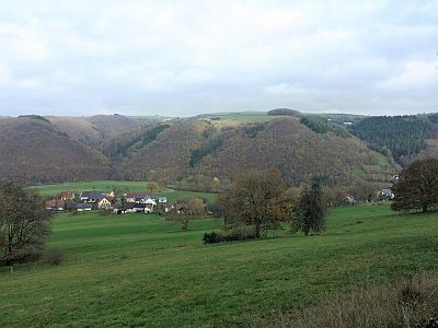 530 m
Viewpoints
Aussichtspunkt
No picture
590 m
Place Names / Local History
Ortsname
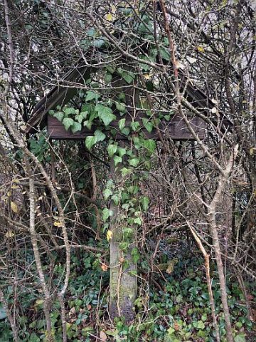 600 m
Wayside Shrines and Stations of the Cross
Wegekreuz
No picture
600 m
Fords
Ehemalige Furt durch die Prüm
 730 m
Oaks
Alte Eichen
No picture
760 m
Farmhouses and Farm Buildings
Hauseingang
No picture
840 m
Field Names
Breitwiese
No picture
890 m
Field Names