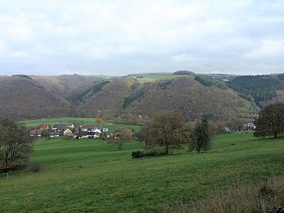
Mauel
28 heritage sites in Mauel in the Kulturdatenbank Region Trier.
The map shows all 28 results.
-
Ehemalige Furt durch die Prüm
Economy, Trade and Transport Fords ID 48668
-
Auf den Dellhecken
Field Names ID 44749
-
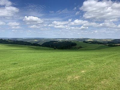
Aussichtspunkt
Viewpoints ID 4400
-
Aussichtspunkt Auf der Schildwache
Viewpoints ID 4414
-
Ehemalige Furt durch die Prüm
Economy, Trade and Transport Fords ID 48675
-
Ehemalige Furt durch die Prüm
Economy, Trade and Transport Fords ID 48676
-
Ehemalige Furt durch die Prüm
Economy, Trade and Transport Fords ID 48677
-
Hauseingang
Residential and Farm Buildings Farmhouses and Farm Buildings ID 10200
-
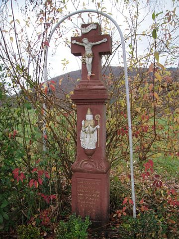
Hohes Schaftkreuz
Religious Buildings Wayside Shrines and Stations of the Cross ID 10202
-
Michelntriesch
Field Names ID 29473
-
Michelntriesch
Field Names ID 29474
-
Michelntriesch
Field Names ID 29475
-
Ortsname
Place Names / Local History ID 1447
-
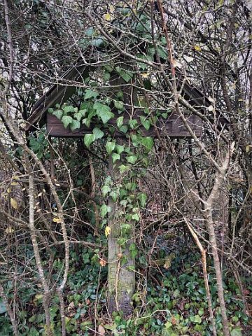
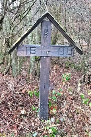
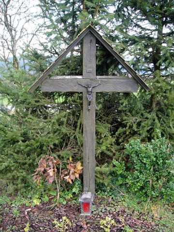
Wegekreuz
Religious Buildings Wayside Shrines and Stations of the Cross ID 33457
-
Wegekreuz
Religious Buildings Wayside Shrines and Stations of the Cross ID 33952
-
Wegekreuz
Religious Buildings Wayside Shrines and Stations of the Cross ID 35695
-
Mauelermühle (Urmauel) im Prümtal
Engineering Structures and Industrial Sites Mills ID 7717
-
Am Staudenerberg
Field Names ID 44704
-
Die Staudenwies
Field Names ID 44924
-
Fundstellen tierischer Versteinerungen
Geological Features Fossils ID 50901
-
Fundstellen tierischer Versteinerungen
Geological Features Fossils ID 50902
-
Im Staudenpesch
Field Names ID 27300
-
Ortsgeschichte Staudenhof
Place Names / Local History ID 10268
-
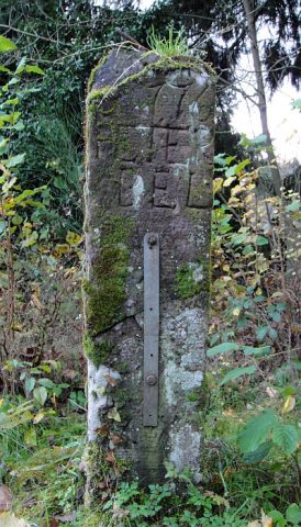
Schaftkreuz von 1776
Religious Buildings Wayside Shrines and Stations of the Cross ID 10201
-
Breitwiese
Field Names ID 37215
-
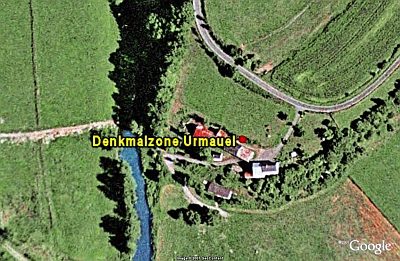
Denkmalzone Urmauel
Historic Townscapes ID 8117