Viewpoints · Undated
Aussichtspunkt Auf der Schildwache
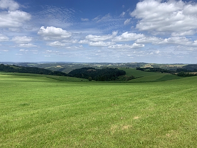
Description
This description is only available in German.
Translate with Google opens this page in Google Translate (external service)
Auf Höhenpunkt 539,8 Meter über NHN. An den Windkraftanlagen Oberlascheid, Ortsteil Phillippsweiler. [1]
Classification
- Subject area
- Natural Features
- Category
- Viewpoints
- Date
- Undatiert
- Period
- Undated
Location
- District
- Eifelkreis Bitburg-Prüm
- Collective municipality
- Arzfeld
- Municipality
- Mauel
- Field name
- Auf der Schildwache
- Coordinates
- WGS 84: 50.054934, 6.382061 (Position: exact) WGS 84: 50° 03′ 17.8″ N, 6° 22′ 55.4″ E UTM 32 (ETRS89): E 312605 · N 5548022
Sources
Data sources
- [1] Wanderkarten im Maßstab 1:50.000 und 1:25.000
On the internet
Picture credits
- Picture 1: © Michael Fischer, Malberg/Waxweiler, 2024.
Last edited: 7 Aug 2024 Object ID: 4414
https://kulturdb.de/en/objekt/4414-mauel-aussichtspunkt-auf-der-schildwache
Nearby
The nearest objects
Wayside Shrines and Stations of the Cross
Wegekreuz
 350 m
Pines
Schwarzkiefer Forsthaus Philippsweiler
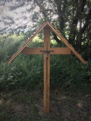 360 m
Wayside Shrines and Stations of the Cross
Wegekreuz
Find Sites
Funde römischer Gefäßkeramik
Place Names / Local History
Ortsname / Ortsgeschichte
Place Names / Local History
Ortsname / Ortsgeschichte
Field Names
In der Schwemmigdell
Wayside Shrines and Stations of the Cross