Wayside Shrines and Stations of the Cross · 21st Century
Wegekreuz


Description
This description is only available in German.
Translate with Google opens this page in Google Translate (external service)
Das Kreuz wurde 2018 erneuert. [1]
Classification
- Subject area
- Architectural and Art Monuments
- Category
- Religious Buildings
- Object type
- Wayside Shrines and Stations of the Cross
- Date
- 2018 [Erneuerung]
- Period
- 21st Century
Location
- District
- Eifelkreis Bitburg-Prüm
- Collective municipality
- Arzfeld
- Municipality
- Oberpierscheid
- Field name
- Elsburg
- Coordinates
- WGS 84: 50.057170, 6.378472 (Position: exact) WGS 84: 50° 03′ 25.8″ N, 6° 22′ 42.5″ E UTM 32 (ETRS89): E 312357 · N 5548279
Sources
Data sources
- [1] Michael Fischer, Malberg/Waxweiler, 2019.
On the internet
de.wikipedia.org/wiki/Oberpierscheid
Picture credits
Last edited: 20 Jun 2019 Object ID: 30454
https://kulturdb.de/en/objekt/30454-oberpierscheid-wegekreuz
Nearby
The nearest objects
No picture
330 m
Wayside Shrines and Stations of the Cross
Wegekreuz
 360 m
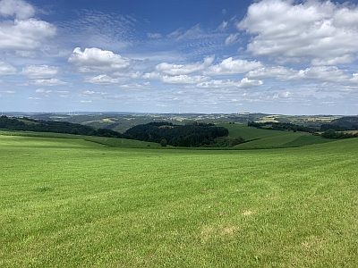
Viewpoints
Aussichtspunkt Auf der Schildwache
 520 m
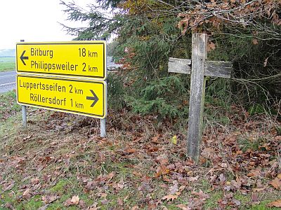
Wayside Shrines and Stations of the Cross
Wegekreuz
No picture
580 m
Field Names
In der Schwemmigdell
No picture
590 m
Viewpoints
Aussichtspunkt am südlichen Ortsrand
 700 m
Pines
Schwarzkiefer Forsthaus Philippsweiler
No picture
740 m
Find Sites
Funde römischer Gefäßkeramik
No picture
980 m
Deserted Settlements