Deserted Settlements · Gothic
Wüstung Pereschet (2)


© GeoBasis-DE / LVermGeoRP, dl-de/by-2-0
There is no picture of this object yet. Do you have a photo that you would like to make available to the Kulturdatenbank? Submit a picture
Description
This description is only available in German.
Translate with Google opens this page in Google Translate (external service)
Vermutlich ist der Ort Pereschet im 13./ 14. Jahrhundert entstanden. Zumindest wird [Oberpierscheid] erstmalig 1408 als "Pereschet" erwähnt. Der Dorfsage nach soll dabei fast die gesamte Bevölkerung in der Pestzeit ausgestorben sein.
Classification
- Subject area
- Archaeological Monuments
- Category
- Settlements
- Object type
- Deserted Settlements
- Date
- 13./ 14. Jahrhundert
- Period
- Gothic
Location
- District
- Eifelkreis Bitburg-Prüm
- Collective municipality
- Arzfeld
- Municipality
- Niederpierscheid
- Field name
- Oben auf Solberberg
- Coordinates
- WGS 84: 50.065933, 6.379567 (Position: exact) WGS 84: 50° 03′ 57.4″ N, 6° 22′ 46.4″ E UTM 32 (ETRS89): E 312470 · N 5549251
Sources
Data sources
- http://www.geocaching.com/geocache/GC35GED_der-
- schwarze-tod
On the internet
Last edited: 28 Dec 2014 Object ID: 36012
https://kulturdb.de/en/objekt/36012-niederpierscheid-wuestung-pereschet-2
Nearby
The nearest objects
Deserted Settlements
Wüstung Pereschet (1)
 500 m
War Memorials
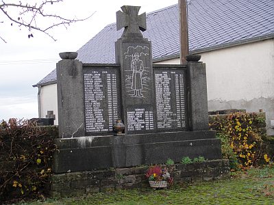
Kriegerdenkmal
 520 m
Catholic Churches
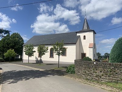
Sankt Simeon
 540 m
Wayside Shrines and Stations of the Cross
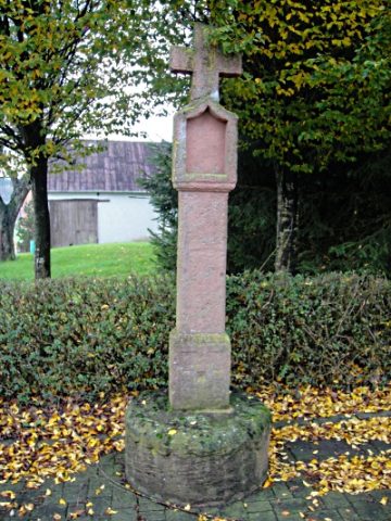
Pestkreuz vor der Kirche
Field Names
In der Schwemmigdell
Field Names
Rennerborn
Viewpoints
Aussichtspunkt am südlichen Ortsrand
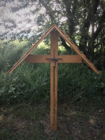 980 m
Wayside Shrines and Stations of the Cross