Field Names · Undated
Im Maar


© GeoBasis-DE / LVermGeoRP, dl-de/by-2-0
There is no picture of this object yet. Do you have a photo that you would like to make available to the Kulturdatenbank? Submit a picture
Description
This description is only available in German.
Translate with Google opens this page in Google Translate (external service)
Maar ist von alters her die allgemeine Bezeichnung für ein Feuchtgebiet (Sumpf, Moor, Au- oder Bruchwald, Feuchtwiese, Ried) oder ein Stillgewässer (See, Teich, Weiher). [1]
Classification
- Subject area
- History
- Category
- Field Names
- Date
- Undatiert
- Period
- Undated
Location
- District
- Trier-Saarburg
- Collective municipality
- Trier-Land
- Municipality
- Kordel
- Field name
- Im Maar
- Coordinates
- WGS 84: 49.834595, 6.649519 (Position: exact) WGS 84: 49° 50′ 04.5″ N, 6° 38′ 58.3″ E UTM 32 (ETRS89): E 330979 · N 5522891
Sources
Data sources
- [1] Seite "Maar (Feuchtgebiet)". In: Wikipedia, Die freie Enzyklopädie. Bearbeitungsstand: 31. Oktober 2013, 17:46 UTC. URL: http://de.wikipedia.org/w/index.php?title=Maar_(Feuchtgebiet)&oldid… (Abgerufen: 13. Dezember 2014, 23:50 UTC)
On the internet
Last edited: 15 Dec 2014 Object ID: 35734
https://kulturdb.de/en/objekt/35734-kordel-im-maar
Nearby
The nearest objects
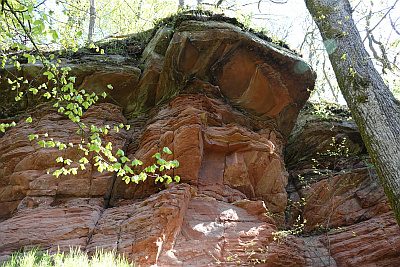 100 m
Rocks
Felswand am Fuß des Steinkopfs - Westlicher Teil
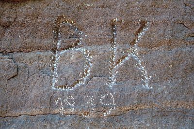 120 m
Inscriptions
Felswand am Fuß des Steinkopfs - Inschriften
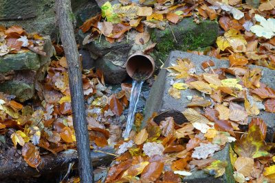 140 m
Springs
Quelle im Riemenberg
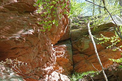 150 m
Rocks
Felswand am Fuß des Steinkopfs - Östlicher Teil
 150 m
Fountains and Wells
Palmbrunnen
 170 m
Field Names
Beim Palmbrunnen
 200 m
Road Transport
Hohlweg unter dem Steinkopf
 250 m
Field Names