Road Transport · Historicism / Art Nouveau
Hohlweg unter dem Steinkopf


Description
This description is only available in German.
Translate with Google opens this page in Google Translate (external service)
Vermutlich durch den Transport von Sandsteinen vom Steinkopf nach Kordel zur dortigen Weiterverarbeitung entstanden. [1]
Classification
- Subject area
- Architectural and Art Monuments
- Category
- Economy, Trade and Transport
- Object type
- Road Transport
- Date
- Nach 1870
Location
- District
- Trier-Saarburg
- Collective municipality
- Trier-Land
- Municipality
- Kordel
- Field name
- Im vordersten Steinkopf
- Coordinates
- WGS 84: 49.836010, 6.647720 (Position: exact) WGS 84: 49° 50′ 09.6″ N, 6° 38′ 51.8″ E UTM 32 (ETRS89): E 330854 · N 5523052
Sources
Data sources
- [1] Peter Valerius, Kordel, 2017.
On the internet
burgramstein.geheimnisvolles-trier.de
Picture credits
Last edited: 9 Aug 2017 Object ID: 44210
https://kulturdb.de/en/objekt/44210-kordel-hohlweg-unter-dem-steinkopf
Nearby
The nearest objects
 60 m
Geological Features
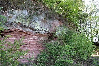
Sandsteinformation im Taurengrund
 100 m
Fountains and Wells
Palmbrunnen
 150 m
Field Names
Auf dem Pfahl
 170 m
Field Names
Beim Palmbrunnen
 180 m
Rocks
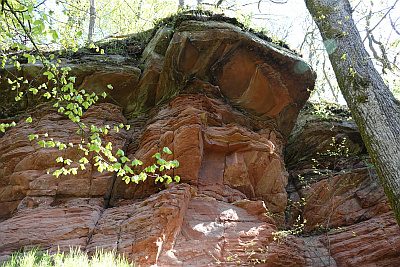
Felswand am Fuß des Steinkopfs - Westlicher Teil
 200 m
Field Names
Unter dem Pfahl
Field Names
Im Maar
 260 m
Field Names