Field Names · Undated
Auf dem Pfahl

Description
This description is only available in German.
Translate with Google opens this page in Google Translate (external service)
Die Bezeichnung Pfahl entstammt dem lateinischen Wort vallum = Wall = steiler Stützabhang und wird hier für den steilen Abfall des Geländes zur Kyll hin angewendet. [1]
Classification
- Subject area
- History
- Category
- Field Names
- Date
- Undatiert
- Period
- Undated
Location
- District
- Trier-Saarburg
- Collective municipality
- Trier-Land
- Municipality
- Kordel
- Street
- Auf dem Pfahl
- Field name
- Auf dem Pfahl
- Coordinates
- WGS 84: 49.835903, 6.645639 (Position: exact) WGS 84: 49° 50′ 09.3″ N, 6° 38′ 44.3″ E UTM 32 (ETRS89): E 330704 · N 5523045
Sources
Data sources
- [1] Anton Obser: Kordel. Geschichte der Kylltalgemeinde. Hrsg. Ortsgemeinde Kordel, 1982.
On the internet
Picture credits
- Picture 1: © Peter Valerius, Kordel, 2015.
Last edited: 15 Jul 2020 Object ID: 18353
https://kulturdb.de/en/objekt/18353-kordel-auf-dem-pfahl
Nearby
The nearest objects
 90 m
Geological Features
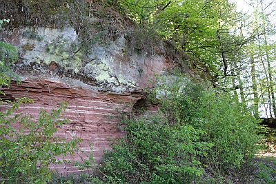
Sandsteinformation im Taurengrund
 110 m
Field Names
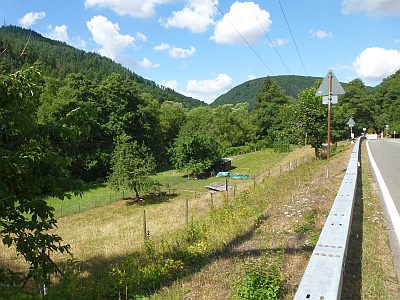
Unter dem Pfahl
 140 m
Street Names
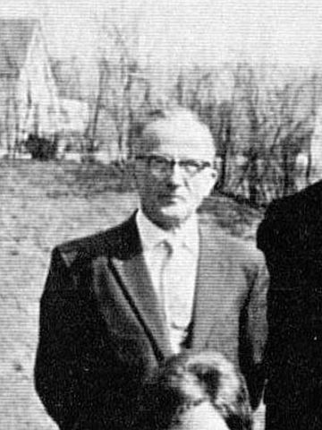
Nikolaus-Barth-Weg
 150 m
Recreation and Sports Facilities
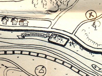
Ehemalige Schwimmanstalt für männliche Personen
 150 m
Road Transport
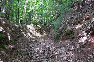
Hohlweg unter dem Steinkopf
 160 m
Fountains and Wells
Palmbrunnen
 190 m
Field Names
Beim Palmbrunnen
 240 m
Field Names