Field Names · Undated
Unter dem Pfahl


Description
This description is only available in German.
Translate with Google opens this page in Google Translate (external service)
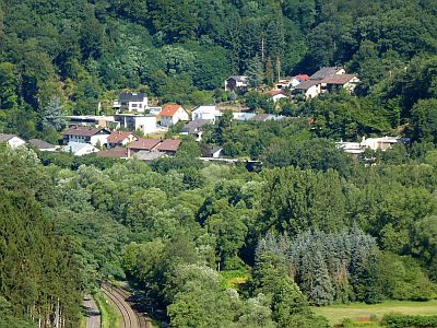
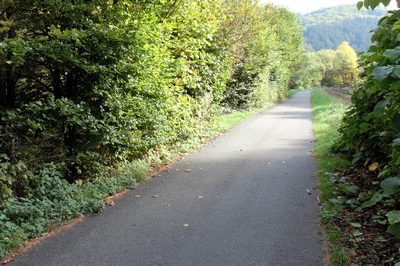
Pfahl entstammt dem lateinischen Wort vallum = Wall = steiler Stützabhang und wird hier für den steilen Abfall des Geländes zur Kyll hin angewendt. [1]
Classification
- Subject area
- History
- Category
- Field Names
- Date
- Undatiert
- Period
- Undated
Location
- District
- Trier-Saarburg
- Collective municipality
- Trier-Land
- Municipality
- Kordel
- Street
- Ehranger Straße
- Field name
- Unter dem Pfahl
- Coordinates
- WGS 84: 49.834910, 6.645460 (Position: exact) WGS 84: 49° 50′ 05.7″ N, 6° 38′ 43.7″ E UTM 32 (ETRS89): E 330688 · N 5522935
Sources
Data sources
- [1] Anton Obser: Kordel. Geschichte der Kylltalgemeinde. Hrsg. Ortsgemeinde Kordel, 1982.
On the internet
Picture credits
Last edited: 15 Jul 2020 Object ID: 38659
https://kulturdb.de/en/objekt/38659-kordel-unter-dem-pfahl
Nearby
The nearest objects
 110 m
Field Names
Auf dem Pfahl
 130 m
Recreation and Sports Facilities
Ehemalige Schwimmanstalt für männliche Personen
 130 m
Field Names
Beim Palmbrunnen
 160 m
Geological Features
Sandsteinformation im Taurengrund
 180 m
Historic Townscapes
Spang's Garten
 190 m
Charcoal Kilns
Ehemaliger Meilerplatz
190 m
Charcoal Kilns
Ehemaliger Meilerplatz
200 m
Charcoal Kilns