Geological Features · Undated
Sandsteinformation im Taurengrund
- Listed monument


Description
This description is only available in German.
Translate with Google opens this page in Google Translate (external service)
Mittelkörniger Sandstein. Wechselfolge aus rotbraunen, gelben und grauen Sandlagen verschiedener Körnung und Siltlagen. [1]
Classification
- Subject area
- Natural Features
- Category
- Geological Features
- Date
- Undatiert
- Period
- Undated
Location
- District
- Trier-Saarburg
- Collective municipality
- Trier-Land
- Municipality
- Kordel
- Field name
- Im vordersten Steinkopf
- Coordinates
- WGS 84: 49.835970, 6.646900 (Position: exact) WGS 84: 49° 50′ 09.5″ N, 6° 38′ 48.8″ E UTM 32 (ETRS89): E 330795 · N 5523049
Sources
Data sources
- [1] H. Wolfgang Wagner; Friederike Kremb-Wagner; Martin Koziol; Jörg F. W. Negendank: Trier und Umgebung. (Sammlung geologischer Führer, Band 60). Gebr. Borntraeger, Stuttgart, 2012, 3. völlig neu bearbeitete Auflage. X , 394 Seiten, 170 Abbildungen, 13 Tabellen, 1 Karte. ISBN 978-3-443-15094-5
On the internet
Picture credits
Last edited: 6 May 2016 Object ID: 40892
https://kulturdb.de/en/objekt/40892-kordel-sandsteinformation-im-taurengrund
Nearby
The nearest objects
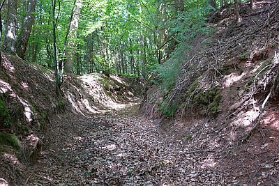 60 m
Road Transport
Hohlweg unter dem Steinkopf
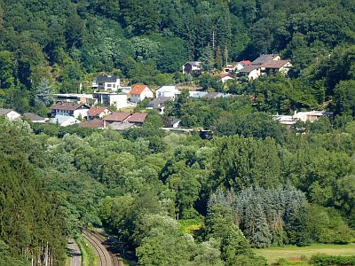 90 m
Field Names
Auf dem Pfahl
 110 m
Fountains and Wells
Palmbrunnen
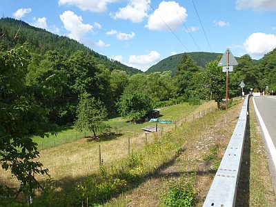 160 m
Field Names
Unter dem Pfahl
 170 m
Field Names
Beim Palmbrunnen
 260 m
Field Names
Beim Rödelnkreuz
 260 m
Historic Townscapes
Spang's Garten
 280 m
Wayside Shrines and Stations of the Cross