Field Names · Undated
Beim Maar


© GeoBasis-DE / LVermGeoRP, dl-de/by-2-0
There is no picture of this object yet. Do you have a photo that you would like to make available to the Kulturdatenbank? Submit a picture
Description
This description is only available in German.
Translate with Google opens this page in Google Translate (external service)
Die Maar (von niederdeutsch mâr, auch môr oder mêr, vgl. Moor, Meer, Marsch) ist in der Region Niederrhein, in der Ville und in der Eifel von alters her die allgemeine Bezeichnung für ein Feuchtgebiet (Sumpf, Moor, Au- oder Bruchwald, Feuchtwiese, Ried) oder ein Stillgewässer (See, Teich, Weiher). Eine Maar kann sowohl einen natürlichen Ursprung haben, als auch künstlich angelegt worden sein. Viele solche Feuchtgebiete stehen inzwischen unter Naturschutz. Davon zu unterscheiden ist die fachsprachliche Bezeichnung das Maar: eine Erdmulde vulkanischen Ursprungs. [1]
Classification
- Subject area
- History
- Category
- Field Names
- Date
- Undatiert
- Period
- Undated
Location
- District
- Eifelkreis Bitburg-Prüm
- Collective municipality
- Verbandsfreie Gemeinde Bitburg
- Town
- Bitburg
- Locality / location
- Matzen
- Field name
- Beim Maar
- Coordinates
- WGS 84: 49.977256, 6.552919 (Position: exact) WGS 84: 49° 58′ 38.1″ N, 6° 33′ 10.5″ E UTM 32 (ETRS89): E 324551 · N 5538972
Sources
Data sources
- [1] Seite "Maar (Feuchtgebiet)". In: Wikipedia, Die freie Enzyklopädie. Bearbeitungsstand: 31. Oktober 2013, 17:46 UTC. URL: http://de.wikipedia.org/w/index.php?title=Maar_(Feuchtgebiet)&oldid… (Abgerufen: 13. Dezember 2014, 23:50 UTC)
On the internet
Last edited: 15 Dec 2014 Object ID: 35775
https://kulturdb.de/en/objekt/35775-bitburg-beim-maar
Nearby
The nearest objects
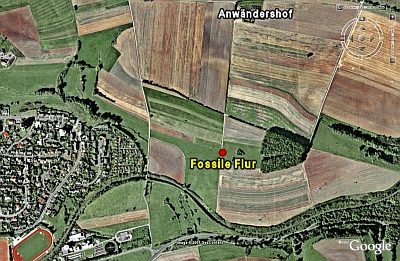 70 m
Ancient Field Systems
Fossile Flur
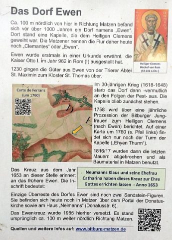 410 m
Deserted Settlements
Wüstung Even
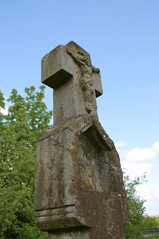 460 m
Wayside Shrines and Stations of the Cross
Evendkreuz
Field Names
Auf dem gebrannten Berg
Settlements
Villa Folker
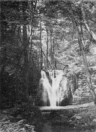 560 m
Waterfalls
Albachtal östlich Bitburg
Field Names
Lohberg
Ironworks