Wayside Shrines and Stations of the Cross · Undated
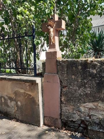
Wegekreuz

Classification
- Subject area
- Architectural and Art Monuments
- Category
- Religious Buildings
- Object type
- Wayside Shrines and Stations of the Cross
- Date
- Undatiert
- Period
- Undated
Location
- District
- Bernkastel-Wittlich
- Collective municipality
- Wittlich-Land
- Municipality
- Platten
- Street
- Vor Weinbergstraße 1
- Field name
- Ortslage
- Coordinates
- WGS 84: 49.951010, 6.954260 (Position: exact) WGS 84: 49° 57′ 03.6″ N, 6° 57′ 15.3″ E UTM 32 (ETRS89): E 353244 · N 5535190
Sources
Data sources
- [1] Michael Grün, Trier, 2018.
On the internet
Picture credits
- Picture 1: © Michael Grün, Trier, 2018.
Last edited: 27 Nov 2018 Object ID: 36020
https://kulturdb.de/en/objekt/36020-platten-wegekreuz
Nearby
The nearest objects
 60 m
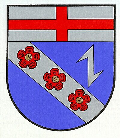
Coats of Arms
Wappen der Gemeinde Platten
No picture
60 m
Place Names / Local History
Ortsgeschichte Platten
No picture
70 m
Field Names
Auf Hostert
No picture
110 m
Mills
Springiersbacher Mühle am Bieberbach
No picture
120 m
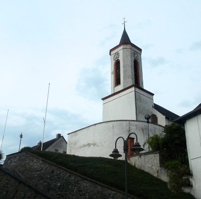
Wayside Shrines and Stations of the Cross
Kreuz am Kircheneingang
 130 m
Catholic Churches
Sankt Martin
No picture
150 m
Mills
Simonmühle am Bieberbach
 210 m
Wayside Shrines and Stations of the Cross