Place Names / Local History · 20th Century
Ortsgeschichte Platten


© GeoBasis-DE / LVermGeoRP, dl-de/by-2-0
There is no picture of this object yet. Do you have a photo that you would like to make available to the Kulturdatenbank? Submit a picture
Description
This description is only available in German.
Translate with Google opens this page in Google Translate (external service)
Am 28.1.1945 wurde die Gemeinde Platten durch einen schweren Bombenangriff sehr stark zerstört, dabei kamen sehr viele Menschen ums Leben, darunter fast der gesamten Jahrgang 1936 (Kommunionkinder mit Pfarrer). [1]
Classification
- Subject area
- History
- Category
- Place Names / Local History
- Date
- 28.01.1945
- Period
- 20th Century
Location
- District
- Bernkastel-Wittlich
- Collective municipality
- Wittlich-Land
- Municipality
- Platten
- Field name
- Ober der Brück
- Coordinates
- WGS 84: 49.951100, 6.953392 (Position: within the village) WGS 84: 49° 57′ 04.0″ N, 6° 57′ 12.2″ E UTM 32 (ETRS89): E 353182 · N 5535201
Sources
Data sources
- [1] Erwin Gaspers, Trier, 2005.
On the internet
Last edited: 1 Feb 2005 Object ID: 9302
https://kulturdb.de/en/objekt/9302-platten-ortsgeschichte-platten
Nearby
The nearest objects
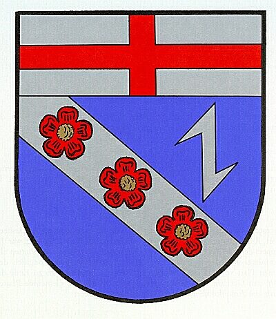 less than 10 m
Coats of Arms
Wappen der Gemeinde Platten
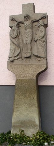 60 m
Wayside Shrines and Stations of the Cross
Wegekreuz
Mills
Springiersbacher Mühle am Bieberbach
Wayside Shrines and Stations of the Cross
Kreuz am Kircheneingang
Field Names
Auf Hostert
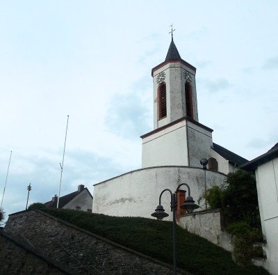 150 m
Catholic Churches
Sankt Martin
Mills
Gemeindemühle an der Lieser
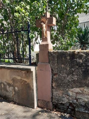 200 m
Wayside Shrines and Stations of the Cross