Field Names · Undated
Am Phenseufen


© GeoBasis-DE / LVermGeoRP, dl-de/by-2-0
There is no picture of this object yet. Do you have a photo that you would like to make available to the Kulturdatenbank? Submit a picture
Description
This description is only available in German.
Translate with Google opens this page in Google Translate (external service)
Seife: Die Namen gehören als Substantivbildung von mittelhochdeutsch sîfen st. V. ‚tröpfeln, triefen‘ zu mittelhochdeutsch sîfe sw. M. ‚Bächlein, von einem Bächlein durchzogene Bergschlucht‘; in Flurnamen im Flachland auch im Sinne von ‚feuchte Stelle‘.[...]
Classification
- Subject area
- History
- Category
- Field Names
- Date
- Undatiert
- Period
- Undated
Location
- District
- Vulkaneifel
- Collective municipality
- Gerolstein
- Municipality
- Schüller
- Field name
- Am Phenseufen
- Coordinates
- WGS 84: 50.327855, 6.553533 (Position: exact) WGS 84: 50° 19′ 40.3″ N, 6° 33′ 12.7″ E UTM 32 (ETRS89): E 325874 · N 5577946
Sources
Data sources
- "AUF DEM SEUFEN", in: Hessische Flurnamen <http://www.lagis-hessen.de/de/subjects/idrec/sn/fln/id/298056> (Stand: 1.11.2012)
On the internet
gerolstein.de/leben-in-der-verbandsgemeinde/ortsgemeinden-und-staedte/schueller
Last edited: 20 Jan 2015 Object ID: 36188
https://kulturdb.de/en/objekt/36188-schueller-am-phenseufen
Nearby
The nearest objects
Field Names
Diesseits dem Phenseufen
Field Names
Auf der Rehheg
Field Names
In Labesseufen
Field Names
Wolfsdell
Field Names
Im Krasur
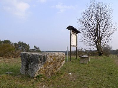 500 m
Viewpoints
Aussichtspunkt Steinbüchel
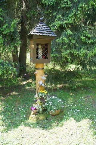 550 m
Wayside Shrines and Stations of the Cross
Andachtsstock
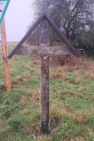 570 m
Wayside Shrines and Stations of the Cross