Field Names · Undated
Aufm Aulwald


© GeoBasis-DE / LVermGeoRP, dl-de/by-2-0
There is no picture of this object yet. Do you have a photo that you would like to make available to the Kulturdatenbank? Submit a picture
Description
This description is only available in German.
Translate with Google opens this page in Google Translate (external service)
Aul - Zu mittelhochdeutsch ûle sw. F. ‚Topf‘ einer Entlehnung aus gallorom. ôlla ‚Topf‘. Die Aul-Namen weisen auf Orte, an denen Töpfererde gegraben wurde, die Wege dahin (Aulweg), gelegentlich auch auf den Ofen, in dem die Ware gebrannt wurde (Aulofen).
Classification
- Subject area
- History
- Category
- Field Names
- Date
- Undatiert
- Period
- Undated
Location
- District
- Trier-Saarburg
- Collective municipality
- Schweich an der römischen Weinstraße
- Municipality
- Mehring
- Field name
- Aufm Aulwald
- Coordinates
- WGS 84: 49.825354, 6.793772 (Position: exact) WGS 84: 49° 49′ 31.3″ N, 6° 47′ 37.6″ E UTM 32 (ETRS89): E 341321 · N 5521548
Sources
Data sources
- © Hessisches Flurnamenarchiv Gießen / Prof. Dr. Hans Ramge
- http://www.lagis-hessen.de/de/help/info/sn/mhfb?lemma=Aul
On the internet
Last edited: 31 Jan 2015 Object ID: 36400
https://kulturdb.de/en/objekt/36400-mehring-aufm-aulwald
Nearby
The nearest objects
Field Names
Beim Leisborn
Extraction and Processing of Raw Materials
Ehem. Grube Morgenstern - Tagebau und alte Abbaue
Extraction and Processing of Raw Materials
Ehem. Grube Morgenstern - Hauptabbau
Field Names
In Aulort
Extraction and Processing of Raw Materials
Ehem. Grube Morgenstern - Abbau-West
 560 m
Wayside Shrines and Stations of the Cross
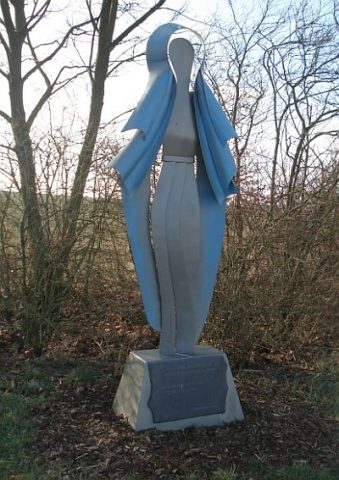
Marienfigur
Settlements
Römische Siedlungsstelle
 590 m
Viewpoints