Mineral Springs · Undated
Demerather Drees
Mineralbrunnen


© GeoBasis-DE / LVermGeoRP, dl-de/by-2-0
There is no picture of this object yet. Do you have a photo that you would like to make available to the Kulturdatenbank? Submit a picture
Description
This description is only available in German.
Translate with Google opens this page in Google Translate (external service)
Mineralisches, kohlesäurehaltiges, stark eisenhaltiges Wasser, welches jedoch keine Trinkwasserqualität hat. [1]
Classification
- Subject area
- Natural Features
- Category
- Springs
- Object type
- Mineral Springs
- Date
- Undatiert
- Period
- Undated
Location
- District
- Vulkaneifel
- Collective municipality
- Daun
- Municipality
- Demerath
- Field name
- Am Sauerbrunnen
- Coordinates
- WGS 84: 50.167180, 6.933460 (Position: exact) WGS 84: 50° 10′ 01.8″ N, 6° 56′ 00.5″ E UTM 32 (ETRS89): E 352417 · N 5559263
Sources
Data sources
On the internet
Last edited: 13 Jun 2023 Object ID: 3661
https://kulturdb.de/en/objekt/3661-demerath-demerather-drees
Nearby
The nearest objects
Field Names
Im Hasenweiher
Wayside Shrines and Stations of the Cross
Gedenkkreuz
Field Names
Jenseits dem Kehr
Wayside Shrines and Stations of the Cross
Wegkreuz am Aussiedlerhof Arthur Kiefer
 560 m
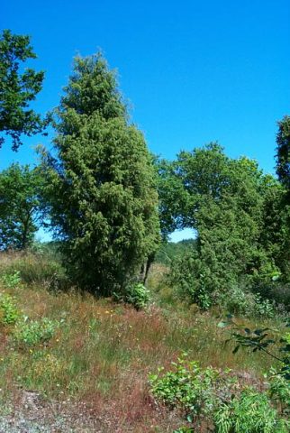
Juniper Heaths
Wacholdergebiet bei Demerath
Field Names
Auf der Langfuhr
Wayside Shrine Houses
Heiligenhäuschen
Field Names