Field Names · Undated
Zwerg-Acker


© GeoBasis-DE / LVermGeoRP, dl-de/by-2-0
There is no picture of this object yet. Do you have a photo that you would like to make available to the Kulturdatenbank? Submit a picture
Description
This description is only available in German.
Translate with Google opens this page in Google Translate (external service)
Zwerch: Zu althochdeutsch thwerah ‚schräg‘, mittelhochdeutsch twerch ‚auf die Seite gerichtet, schräg, verkehrt‘, frühneuhochdeutsch zwer, zwerch ‚quer‘.[...] Mit zwerch wurden Gewanne bezeichnet, die quer zu den benachbarten Flurstücken verlaufen. [1]
Classification
- Subject area
- History
- Category
- Field Names
- Date
- Undatiert
- Period
- Undated
Location
- District
- Vulkaneifel
- Collective municipality
- Gerolstein
- Municipality
- Nohn
- Field name
- Zwerg-Acker
- Coordinates
- WGS 84: 50.334563, 6.789150 (Position: exact) WGS 84: 50° 20′ 04.4″ N, 6° 47′ 20.9″ E UTM 32 (ETRS89): E 342664 · N 5578167
Sources
Data sources
- [1] © Hessisches Flurnamenarchiv Gießen / Prof. Dr. Hans Ramge
- http://www.lagis-hessen.de/de/help/info/sn/mhfb?lemma=Zwerch
On the internet
Last edited: 19 Feb 2015 Object ID: 36616
https://kulturdb.de/en/objekt/36616-nohn-zwerg-acker
Nearby
The nearest objects
Wayside Shrine Houses
Heiligenhäuschen
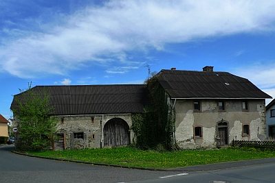 250 m
Farmhouses and Farm Buildings
Hof
Field Names
Auf Krahnenheld diesseits der Anwand
Farmhouses and Farm Buildings
Fachwerkhaus
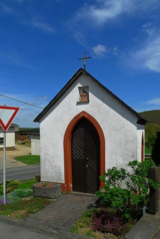 330 m
Wayside Shrine Houses
Heiligenhaus
Field Names
Im Rödelspesch
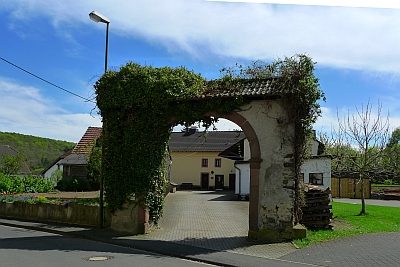 360 m
Farmhouses and Farm Buildings
Trierer Haus
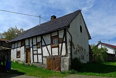 370 m
Farmhouses and Farm Buildings