Field Names · Undated
Auf der Wüstenhaide


© GeoBasis-DE / LVermGeoRP, dl-de/by-2-0
There is no picture of this object yet. Do you have a photo that you would like to make available to the Kulturdatenbank? Submit a picture
Description
This description is only available in German.
Translate with Google opens this page in Google Translate (external service)
Als wüst bezeichnete man Felder, die nicht mehr benutzt wurden. Dies konnte verschiedene Gründe haben. Manchmal lohnte es sich nicht mehr, das schlechte Ackerland zu bepflanzen. Manchmal waren die Besitzer durch Kriege oder Krankheiten gestorben und es war einfach niemand mehr da, der die Äcker bewirtschaftete. [1]
Classification
- Subject area
- History
- Category
- Field Names
- Date
- Undatiert
- Period
- Undated
Location
- District
- Vulkaneifel
- Collective municipality
- Kelberg
- Municipality
- Hörschhausen
- Field name
- Auf der Wüstenhaide
- Coordinates
- WGS 84: 50.243590, 6.922680 (Position: exact) WGS 84: 50° 14′ 36.9″ N, 6° 55′ 21.6″ E UTM 32 (ETRS89): E 351884 · N 5567779
Sources
Data sources
- [1] Flurnamenlexikon Baden-Württemberg, 2015.
- http://www.gottenheim.de/Winzergenossenschaft/Gewanne/bw_flurnamenl…
On the internet
Last edited: 28 Mar 2015 Object ID: 36689
https://kulturdb.de/en/objekt/36689-hoerschhausen-auf-der-wuestenhaide
Nearby
The nearest objects
Settlements
Siedlungsstelle
Burial Mounds
Grabhügel
Field Names
In der Wüstenwies
Field Names
In der Wolfskaul
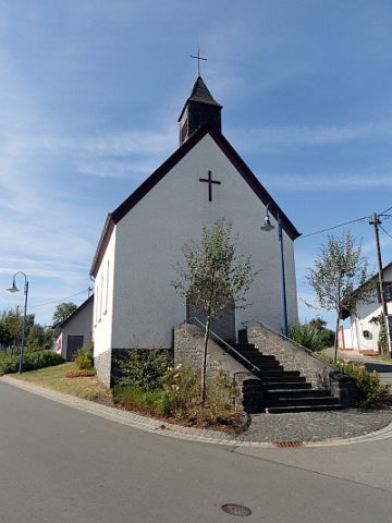 530 m
Catholic Churches
Sankt Katharina
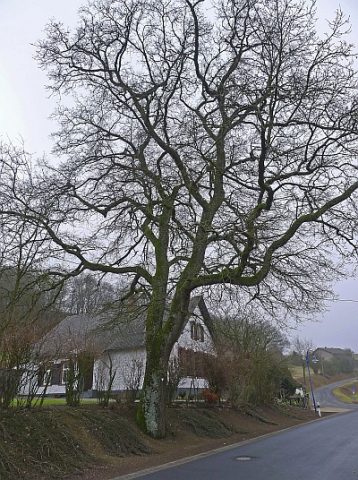 570 m
Oaks
Alte Eiche
 610 m
Place Names / Local History
Ortsgeschichte Katzwinkel
 610 m
Coats of Arms