Field Names · Undated
Am Eicherweg


© GeoBasis-DE / LVermGeoRP, dl-de/by-2-0
There is no picture of this object yet. Do you have a photo that you would like to make available to the Kulturdatenbank? Submit a picture
Description
This description is only available in German.
Translate with Google opens this page in Google Translate (external service)
Im Jahr 1815 wurde von der preußischen Regierung die Ortschaft Obereich in Büscheich umbenannt. Also bedeutet dies: am Weg nach Eich (Büscheich).
Classification
- Subject area
- History
- Category
- Field Names
- Date
- Undatiert
- Period
- Undated
Location
- District
- Vulkaneifel
- Town
- Gerolstein
- Locality / location
- Gees
- Field name
- Am Eicherweg
- Coordinates
- WGS 84: 50.215240, 6.697170 (Position: exact) WGS 84: 50° 12′ 54.9″ N, 6° 41′ 49.8″ E UTM 32 (ETRS89): E 335709 · N 5565100
Sources
Data sources
- [1] Seite "Gerolstein". In: Wikipedia, Die freie Enzyklopädie. Bearbeitungsstand: 25. Januar 2015, 21:12 UTC. URL: http://de.wikipedia.org/w/index.php?title=Gerolstein&oldid=138163472 (Abgerufen: 24. März 2015, 09:16 UTC)
- [2] Wilma Herzog, Gerolstein, 2015.
On the internet
Last edited: 24 Mar 2015 Object ID: 38001
https://kulturdb.de/en/objekt/38001-gerolstein-am-eicherweg
Nearby
The nearest objects
Field Names
Auf Bedtersrech
Field Names
Am Bedtersrech
Field Names
In Osterrath
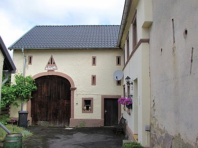 500 m
Farmhouses and Farm Buildings
Trierer Haus in Winkelbauweise
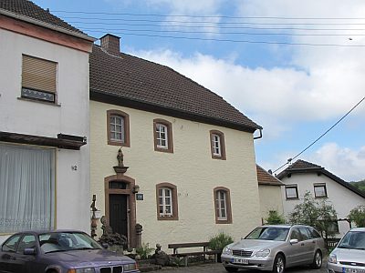 510 m
Farmhouses and Farm Buildings
Bauernhaus
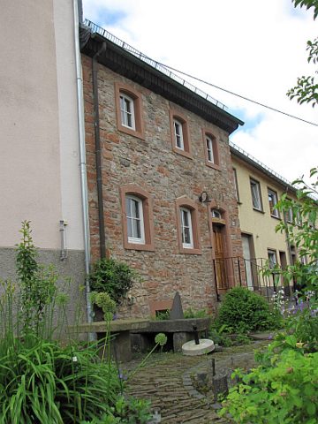 530 m
Farmhouses and Farm Buildings
Wohnhaus einer Hofanlage
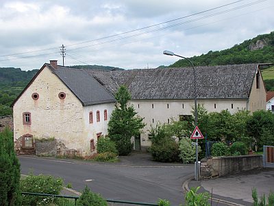 540 m
Farmhouses and Farm Buildings
Barockes Wohnhaus
Field Names