Field Names · Undated
Aufm Kloster


© GeoBasis-DE / LVermGeoRP, dl-de/by-2-0
There is no picture of this object yet. Do you have a photo that you would like to make available to the Kulturdatenbank? Submit a picture
Description
This description is only available in German.
Translate with Google opens this page in Google Translate (external service)
Kloster - Meist handelt es sich dabei um Namen, die Besitzverhältnisse ausdrücken; selten ist der Flurname als Lagebezeichnung aufzufassen.
Classification
- Subject area
- History
- Category
- Field Names
- Date
- Undatiert
- Period
- Undated
Location
- District
- Vulkaneifel
- Collective municipality
- Gerolstein
- Municipality
- Mürlenbach
- Field name
- Aufm Kloster
- Coordinates
- WGS 84: 50.143422, 6.637053 (Position: exact) WGS 84: 50° 08′ 36.3″ N, 6° 38′ 13.4″ E UTM 32 (ETRS89): E 331167 · N 5557250
Sources
Data sources
- Prof. Dr. G. Hänse in: Heimatbund Thüringen, Flurnamen-Report 3/2004, (Mitteilungen zum Projekt "Flurnamen und Regionalgeschichte") http://www.heimatbund-thueringen.de
On the internet
Last edited: 28 Mar 2015 Object ID: 38161
https://kulturdb.de/en/objekt/38161-muerlenbach-aufm-kloster
Nearby
The nearest objects
Field Names
Im Kloster
Field Names
Auf Klatzendell
Temples, Sanctuaries
Überreste eines Tempels
 460 m
Monuments
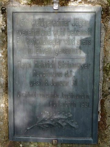
Gedenkstein für Heinrich Steinmeyer
Field Names
Grünheld
 630 m
Mills
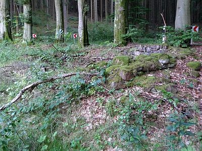
Ehemalige Grindelsmühle
 630 m
Mills
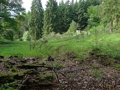
Ehemalige Grindelsmühle - Weiher
Field Names