Field Names · Undated
Aufm Spieß


© GeoBasis-DE / LVermGeoRP, dl-de/by-2-0
There is no picture of this object yet. Do you have a photo that you would like to make available to the Kulturdatenbank? Submit a picture
Description
This description is only available in German.
Translate with Google opens this page in Google Translate (external service)
Spieß, Spiess - zu mittelhochdeutsch spiez stm = Spieß; hier: spitz zulaufendes Flurstück.
Classification
- Subject area
- History
- Category
- Field Names
- Date
- Undatiert
- Period
- Undated
Location
- District
- Vulkaneifel
- Collective municipality
- Daun
- Municipality
- Gillenfeld
- Locality / location
- Auf der Maarhöhe
- Street
- Auf der Maarhöhe
- Field name
- Aufm Spieß
- Coordinates
- WGS 84: 50.133863, 6.917603 (Position: exact) WGS 84: 50° 08′ 01.9″ N, 6° 55′ 03.4″ E UTM 32 (ETRS89): E 351181 · N 5555591
Sources
Data sources
- Manfred Halfer: Die Flurnamen der Verbandsgemeinde Nieder-Olm (in Auswahl).
- Http://www.regionalgeschichte.net/fileadmin/Superportal/Bibliothek/…
On the internet
Last edited: 1 May 2015 Object ID: 38356
https://kulturdb.de/en/objekt/38356-gillenfeld-aufm-spiess
Nearby
The nearest objects
Extraction and Processing of Raw Materials
Ehemaliger Steinbruch
Extraction and Processing of Raw Materials
Ehemaliger Steinbruch
Field Names
Aufm Spieß
Extraction and Processing of Raw Materials
Ehemaliger Steinbruch
Execution Sites
Gewann Am Gericht
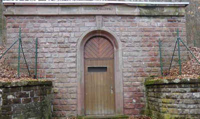 330 m
Catering, Inns and Hotels
Pumpwerk am Pulvermaar
Viewpoints
Aussichtspunkt Maarberg
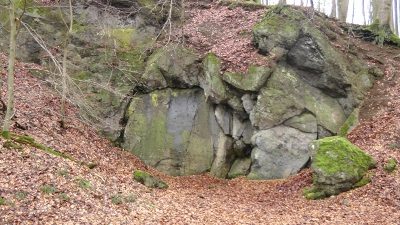 550 m
Extraction and Processing of Raw Materials