Field Names · Baroque / Rococo
Feilenmühle


© GeoBasis-DE / LVermGeoRP, dl-de/by-2-0
There is no picture of this object yet. Do you have a photo that you would like to make available to the Kulturdatenbank? Submit a picture
Description
This description is only available in German.
Translate with Google opens this page in Google Translate (external service)
Feilenmühle - 1716 hinunter zu der Müllen. [1]
Classification
- Subject area
- History
- Category
- Field Names
- Date
- 1716
- Period
- Baroque / Rococo
Location
- District
- Trier-Saarburg
- Collective municipality
- Trier-Land
- Municipality
- Newel
- Locality / location
- Butzweiler
- Street
- Remigiusstraße
- Field name
- Feilenmühle
- Coordinates
- WGS 84: 49.820800, 6.628440 (Position: exact) WGS 84: 49° 49′ 14.9″ N, 6° 37′ 42.4″ E UTM 32 (ETRS89): E 329414 · N 5521405
Sources
Data sources
- [1] Klaus Pauli: Butzweiler und seine Geschichte. Hrsg. Heimatverein Butzweiler e.V. und Arbeitsgemeinschaft für Landesgeschichte und Volkskunde des Trierer Raumes, 1993.
On the internet
Last edited: 4 Jun 2021 Object ID: 38442
https://kulturdb.de/en/objekt/38442-newel-feilenmuehle
Nearby
The nearest objects
Mills
Ehemalige Feilen-Mühle am Butzweiler Bach
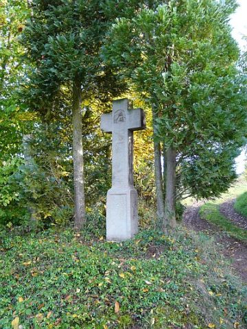 100 m
Wayside Shrines and Stations of the Cross
Kreuz nahe Ramsteiner Weg
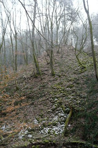 130 m
Extraction and Processing of Raw Materials
Ehemaliger Steinbruch - Abraumhalde
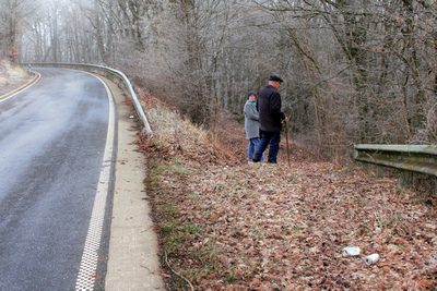 140 m
Street Names
Paulipeadchi
 160 m
Extraction and Processing of Raw Materials
Ehemaliger Steinbruch
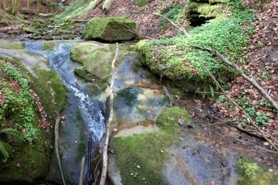 210 m
Waterfalls
Wasserfall im Butzerbachtal (13)
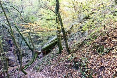 220 m
Beeches
Ehemalige Grenzbuche im Butzerbachtal (2)
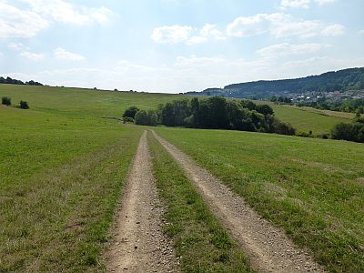 220 m
Field Names