Extraction and Processing of Raw Materials · 20th Century
Ehemaliger Steinbruch


Classification
- Subject area
- Architectural and Art Monuments
- Category
- Economy, Trade and Transport
- Object type
- Extraction and Processing of Raw Materials
- Date
- 1934
- Period
- 20th Century
Location
- District
- Trier-Saarburg
- Collective municipality
- Trier-Land
- Municipality
- Newel
- Locality / location
- Butzweiler
- Field name
- Bei der Butzweilermühl
- Coordinates
- WGS 84: 49.821279, 6.630494 (Position: exact) WGS 84: 49° 49′ 16.6″ N, 6° 37′ 49.8″ E UTM 32 (ETRS89): E 329564 · N 5521453
Sources
Data sources
- [1] Topographische Karte von 1934.
- [2] Schummerung RP 1m ©GeoBasis-DE / LVermGeoRP (2024), dl-de/by-2-0, http://www.lvermgeo.rlp.de [Daten bearbeitet]
On the internet
Picture credits
Last edited: 28 Jul 2024 Object ID: 38874
https://kulturdb.de/en/objekt/38874-newel-ehemaliger-steinbruch
Nearby
The nearest objects
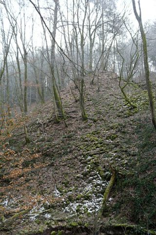 60 m
Extraction and Processing of Raw Materials
Ehemaliger Steinbruch - Abraumhalde
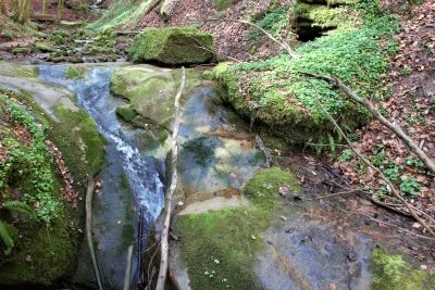 100 m
Waterfalls
Wasserfall im Butzerbachtal (13)
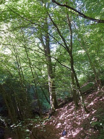 120 m
Beeches
Ehemalige Grenzbuche im Butzerbachtal (1)
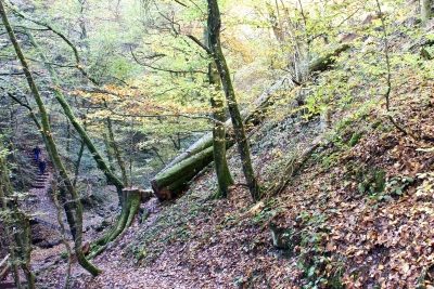 120 m
Beeches
Ehemalige Grenzbuche im Butzerbachtal (2)
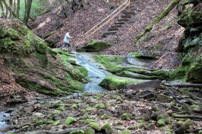 120 m
Fords
Furt durch den Butzerbach (6)
130 m
Waterfalls
Wasserfall im Butzerbachtal (12)
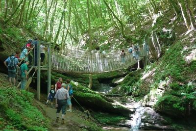 180 m
Road Transport
Hängebrücke im Butzerbachtal (2)
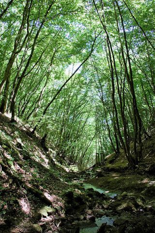 180 m
Field Names