Field Names · Baroque / Rococo
Schlehenhecke


Description
This description is only available in German.
Translate with Google opens this page in Google Translate (external service)
Classification
- Subject area
- History
- Category
- Field Names
- Date
- 1712
- Period
- Baroque / Rococo
Location
- District
- Trier-Saarburg
- Collective municipality
- Trier-Land
- Municipality
- Newel
- Locality / location
- Butzweiler
- Field name
- Untere Langheck
- Coordinates
- WGS 84: 49.826990, 6.632870 (Position: exact) WGS 84: 49° 49′ 37.2″ N, 6° 37′ 58.3″ E UTM 32 (ETRS89): E 329755 · N 5522083
Sources
Data sources
- [1] Klaus Pauli: Butzweiler und seine Geschichte. Hrsg. Heimatverein Butzweiler e.V. und Arbeitsgemeinschaft für Landesgeschichte und Volkskunde des Trierer Raumes, 1993.
- [2] Dittmaier, Heinrich: Rheinische Flurnamen. Ludwig Röhrscheid Verlag, Bonn, 1963.
On the internet
Picture credits
- Picture 1: © Peter Valerius, Kordel, 2015.
- Picture 2: © Peter Valerius, Kordel, 2015.
- Picture 3: Von Georg Buzin - Eigenes Werk, CC BY-SA 4.0, https://commons.wikimedia.org/w/index.php?curid=109251566
- Picture 4: Von © Günter Seggebäing, CC BY-SA 3.0, CC BY-SA 3.0, https://commons.wikimedia.org/w/index.php?curid=79211159
Last edited: 29 Jan 2023 Object ID: 38465
https://kulturdb.de/en/objekt/38465-newel-schlehenhecke
Nearby
The nearest objects
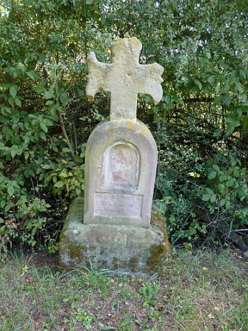 150 m
Wayside Shrines and Stations of the Cross
Laudor-Kreuz
No picture
170 m
Wayside Shrines and Stations of the Cross
Wegekreuz
No picture
190 m
Field Names
Bei Schommelsbüsch
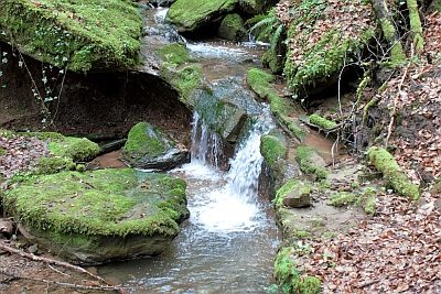 260 m
Waterfalls
Wasserfall im Butzerbachtal (5)
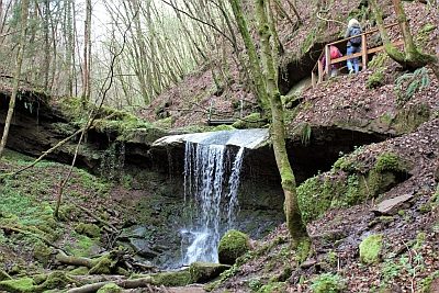 260 m
Waterfalls
Wasserfall im Butzerbachtal (6)
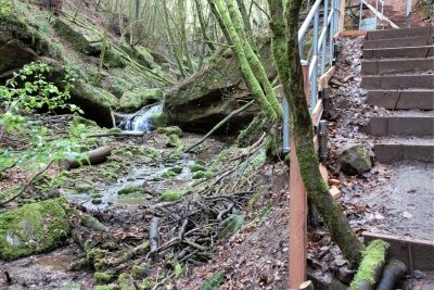 270 m
Waterfalls
Wasserfall im Butzerbachtal (4)
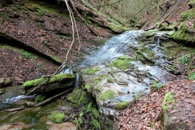 270 m
Waterfalls
Wasserfall im Butzerbachtal (7)
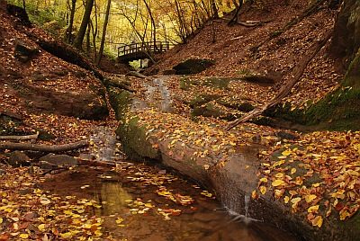 280 m
Field Names