Extraction and Processing of Raw Materials · 20th Century
Ehemaliger Steinbruch


Classification
- Subject area
- Architectural and Art Monuments
- Category
- Economy, Trade and Transport
- Object type
- Extraction and Processing of Raw Materials
- Date
- 1934
- Period
- 20th Century
Location
- District
- Trier-Saarburg
- Collective municipality
- Trier-Land
- Municipality
- Welschbillig
- Field name
- Erwen
- Coordinates
- WGS 84: 49.851070, 6.612050 (Position: exact) WGS 84: 49° 51′ 03.9″ N, 6° 36′ 43.4″ E UTM 32 (ETRS89): E 328343 · N 5524807
Sources
Data sources
- [1] Topographische Karte von 1934.
On the internet
Picture credits
Last edited: 7 Sep 2015 Object ID: 38887
https://kulturdb.de/en/objekt/38887-welschbillig-ehemaliger-steinbruch
Nearby
The nearest objects
No picture
280 m
Extraction and Processing of Raw Materials
Ehemaliger Steinbruch am Kanertbach
No picture
360 m
Roman Long Wall
Reste der römischen Langmauer
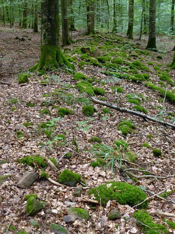 420 m
Roman Long Wall
Reste der Langmauer
No picture
440 m
Wayside Shrines and Stations of the Cross
Wegekreuz
No picture
540 m
Charcoal Kilns
Ehemaliger Meilerplatz
No picture
650 m
Charcoal Kilns
Ehemaliger Meilerplatz
No picture
680 m
Charcoal Kilns
Ehemaliger Meilerplatz
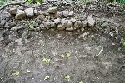 710 m
Roman Long Wall