Roman Long Wall · Celtic / Roman Period
Reste der römischen Langmauer


© GeoBasis-DE / LVermGeoRP, dl-de/by-2-0
There is no picture of this object yet. Do you have a photo that you would like to make available to the Kulturdatenbank? Submit a picture
Description
This description is only available in German.
Translate with Google opens this page in Google Translate (external service)
Von der ehemaligen Mauer ist allerdings nur noch ein Steinwall übrig geblieben, welcher den Verlauf der Langmauer erkennen lässt. [1]
Classification
- Subject area
- Archaeological Monuments
- Object type
- Roman Long Wall
- Date
- 2. Hälfte 4. Jahrhundert nach Chr.
- Period
- Celtic / Roman Period
Location
- District
- Trier-Saarburg
- Collective municipality
- Trier-Land
- Municipality
- Welschbillig
- Field name
- Kahnert
- Coordinates
- WGS 84: 49.853324, 6.608456 (Position: exact) WGS 84: 49° 51′ 12.0″ N, 6° 36′ 30.4″ E UTM 32 (ETRS89): E 328093 · N 5525066
Sources
Data sources
On the internet
Last edited: 12 Oct 2021 Object ID: 51328
https://kulturdb.de/en/objekt/51328-welschbillig-reste-der-roemischen-langmauer
Nearby
The nearest objects
Extraction and Processing of Raw Materials
Ehemaliger Steinbruch am Kanertbach
Wayside Shrines and Stations of the Cross
Wegekreuz
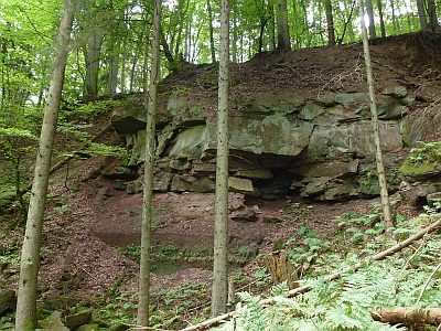 360 m
Extraction and Processing of Raw Materials
Ehemaliger Steinbruch
Charcoal Kilns
Ehemaliger Meilerplatz
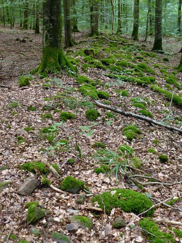 740 m
Roman Long Wall
Reste der Langmauer
 760 m
Settlements
Römische Siedlung
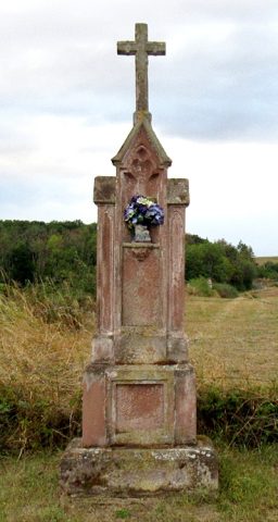 880 m
Wayside Shrines and Stations of the Cross
Bildstock südöstlich der Ortslage
Charcoal Kilns