Forest Names · Undated
Beim Kimmlinger Wald


© GeoBasis-DE / LVermGeoRP, dl-de/by-2-0
There is no picture of this object yet. Do you have a photo that you would like to make available to the Kulturdatenbank? Submit a picture
Description
This description is only available in German.
Translate with Google opens this page in Google Translate (external service)
Waldname, der schon 1816/18 in der.Kartenaufnahme der Rheinlande durch Tranchot und von Müffling dargestellt wird. [1]
Classification
- Subject area
- History
- Category
- Field Names
- Object type
- Forest Names
- Date
- Undatiert
- Period
- Undated
Location
- District
- Trier-Saarburg
- Collective municipality
- Trier-Land
- Municipality
- Kordel
- Locality / location
- Kimmlingen
- Field name
- Beim Kimmlinger Wald
- Coordinates
- WGS 84: 49.827660, 6.606490 (Position: exact) WGS 84: 49° 49′ 39.6″ N, 6° 36′ 23.4″ E UTM 32 (ETRS89): E 327860 · N 5522218
Sources
Data sources
- [1] Kartenaufnahme der Rheinlande - durch Tranchot und von Müfflin, Maßstab 1:25000, Uraufnahme (1803 - 1820), Blattnummer: 21, Jahrgang: 1816818, Blattname: Trier-Wst, Aufnahme: Leutnant von Hertell und Leutnant Graf von Monts.
On the internet
Last edited: 15 Jul 2020 Object ID: 38976
https://kulturdb.de/en/objekt/38976-kordel-beim-kimmlinger-wald
Nearby
The nearest objects
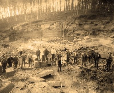 80 m
Extraction and Processing of Raw Materials
Ehemaliger Steinbruch
 170 m
Pilgrimage Routes
Jakobusweg von Echternach nach Trier
 170 m
Field Names
Im Traugraben
270 m
Extraction and Processing of Raw Materials
Ehemaliger Steinbruch
 280 m
Field Names
Bei der Kimmlinger Mühle
 370 m
Mills
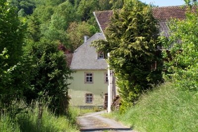
Kimmlingermühle am Kimmlingerbach
 380 m
Wayside Shrines and Stations of the Cross
Kimmlingermühle - Kreuz am Nebengebäude
Mills