Field Names · Undated
Auf dem Hungerberg


© GeoBasis-DE / LVermGeoRP, dl-de/by-2-0
There is no picture of this object yet. Do you have a photo that you would like to make available to the Kulturdatenbank? Submit a picture
Description
This description is only available in German.
Translate with Google opens this page in Google Translate (external service)
Zu althochdeutsch hungar, hunger, mittelhochdeutsch hunger, starkes Maskulinum 'Hunger'. Die Namen zeigen minderwertige, wenig fruchtbare Böden an: Ackerstücke, die keinen Ertrag abwerfen, und Weiden, auf denen wenig Gras wächst. [1]
Classification
- Subject area
- History
- Category
- Field Names
- Date
- Undatiert
- Period
- Undated
Location
- District
- Eifelkreis Bitburg-Prüm
- Collective municipality
- Bitburger Land
- Municipality
- Baustert
- Locality / location
- Baustertgraben
- Field name
- Auf dem Hungerberg
- Coordinates
- WGS 84: 49.982560, 6.400920 (Position: exact) WGS 84: 49° 58′ 57.2″ N, 6° 24′ 03.3″ E UTM 32 (ETRS89): E 313675 · N 5539929
Sources
Data sources
- [1] Landesgeschichtliches Informationssystem Hessen (LAGIS)
On the internet
Last edited: 6 Jun 2015 Object ID: 39020
https://kulturdb.de/en/objekt/39020-baustertgraben-auf-dem-hungerberg
Nearby
The nearest objects
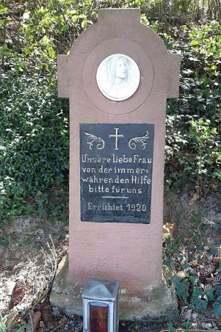 400 m
Wayside Shrines and Stations of the Cross
Marienkreuz
Field Names
Unter Seitert
Field Names
In Seitert
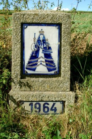 540 m
Wayside Shrines and Stations of the Cross
Straßenkreuz
Field Names
Im Maarfeld
Field Names
Mühlenpesch
Field Names
Im Rückbrecher
Field Names