Extraction and Processing of Raw Materials · Undated
Erzloch


© GeoBasis-DE / LVermGeoRP, dl-de/by-2-0
There is no picture of this object yet. Do you have a photo that you would like to make available to the Kulturdatenbank? Submit a picture
Description
This description is only available in German.
Translate with Google opens this page in Google Translate (external service)
In der Nähe des Werdelstein befindet sich ein Stollen im Felsen, das Erzloch. Hierbei handelt es sich um den Eingang zur ehemaligen Erzgrube, wo früher nach erzhaltigem Gestein gegraben wurde, also wieder ein Anzeichen einer sehr frühen Besiedlung. [1]
Classification
- Subject area
- Architectural and Art Monuments
- Category
- Economy, Trade and Transport
- Object type
- Extraction and Processing of Raw Materials
- Date
- Undatiert
- Period
- Undated
Location
- District
- Bernkastel-Wittlich
- Collective municipality
- Wittlich-Land
- Municipality
- Bergweiler
- Field name
- Auf Wertelstein
- Coordinates
- WGS 84: 49.952513, 6.808396 (Position: exact) WGS 84: 49° 57′ 09.0″ N, 6° 48′ 30.2″ E UTM 32 (ETRS89): E 342786 · N 5535653
Sources
Data sources
- [1] Marlene Bollig; "Eselstratt" Trittenheim, 2002.
- [2] © OpenStreetMap contributors, 2015 www.openstreetmap.org/copyright
On the internet
Last edited: 21 Jan 2023 Object ID: 39086
https://kulturdb.de/en/objekt/39086-bergweiler-erzloch
Nearby
The nearest objects
 200 m
Standing Stones, Menhirs
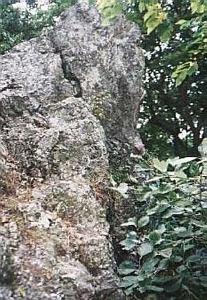
Werdelstein
200 m
Rocks
Felsgruppe Werdelstein
210 m
Viewpoints
Aussichtspunkt Werdelstein
Field Names
In Krummenau
Wayside Shrines and Stations of the Cross
Ehemaliges Kreuz im Brucher Pfädchen
 850 m
Monuments
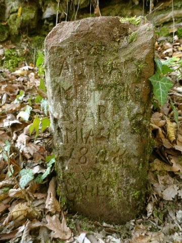
Gedenkstein
Field Names
Auf Petersdell
Field Names