Wayside Shrines and Stations of the Cross · Neoclassicism
Ehemaliges Kreuz im Brucher Pfädchen


© GeoBasis-DE / LVermGeoRP, dl-de/by-2-0
There is no picture of this object yet. Do you have a photo that you would like to make available to the Kulturdatenbank? Submit a picture
Description
This description is only available in German.
Translate with Google opens this page in Google Translate (external service)
Der nur ca. 50 cm hohe Kreuzstumpf sowie der abgebrochene obere Kreuzteil wurden in den 1980er Jahren samt Sockelstein entwendet.
Inschrift:
FIER DIE
ABIEG
T SEHL [mundartlich: für die abgelebte Seele]
KOBES
Im breiten unteren Teil des Stumpfes sind ein Rad und ein Kreuz ausgehauen, dazwischen die Jahreszahl 1803. Auffallend die sehr grobe Bearbeitung des Steines. [1]
Classification
- Subject area
- Architectural and Art Monuments
- Category
- Religious Buildings
- Object type
- Wayside Shrines and Stations of the Cross
- Date
- 1803
- Period
- Neoclassicism
Location
- District
- Bernkastel-Wittlich
- Collective municipality
- Wittlich-Land
- Municipality
- Dreis
- Locality / location
- Landhaus Kasfeld
- Field name
- Schirkettenberg
- Coordinates
- WGS 84: 49.947169, 6.803450 (Position: exact) WGS 84: 49° 56′ 49.8″ N, 6° 48′ 12.4″ E UTM 32 (ETRS89): E 342414 · N 5535069
Sources
Data sources
- [1] Steinerne Zeitzeugen. Der Dreiser Kreuze-Weg, ein kulturgeschichtlicher Wanderweg zu den Wegekreuzen und Bildstöcken in der Gemarkung Dreis. Hrsg.: Arbeitsgruppe Wegekreuze, Dreis; Verfasser: Alfred Herges; 2012. http://www.gemeinde-dreis.de/index.php?section=Shop
- [2] Topographische Karte von 1887.
On the internet
Last edited: 15 Apr 2016 Object ID: 40828
https://kulturdb.de/en/objekt/40828-dreis-ehemaliges-kreuz-im-brucher-pfaedchen
Nearby
The nearest objects
 360 m
Monuments
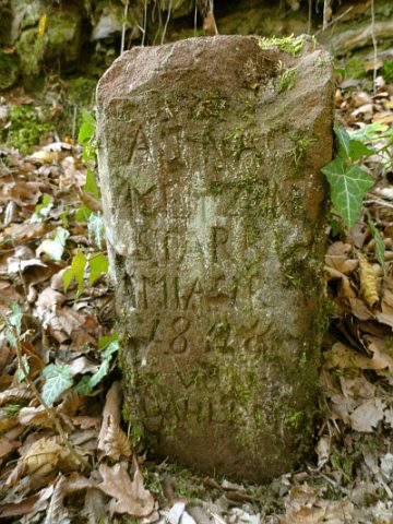
Gedenkstein
Field Names
In Krummenau
Field Names
Teufelheck
Extraction and Processing of Raw Materials
Erzloch
 730 m
Mills
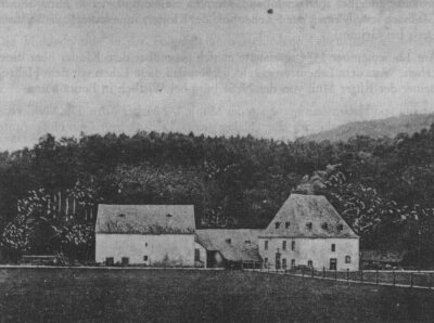
Dreiser Mühle
 780 m
Chapels
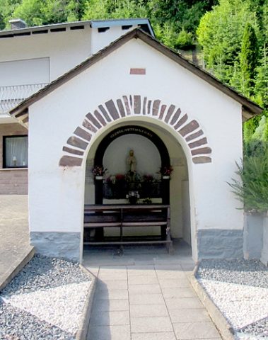
Kapelle
 860 m
Wayside Shrines and Stations of the Cross
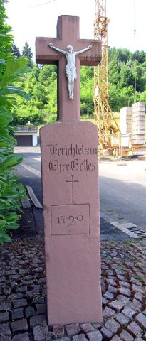
Echternacher Kreuz
 1.0 km
Wayside Shrines and Stations of the Cross