Field Names · Undated
Zehntenfrei


© GeoBasis-DE / LVermGeoRP, dl-de/by-2-0
There is no picture of this object yet. Do you have a photo that you would like to make available to the Kulturdatenbank? Submit a picture
Description
This description is only available in German.
Translate with Google opens this page in Google Translate (external service)
Frei - Zu althochdeutsch frî, mittelhochdeutsch vrî ‚frei‘. Diese Flurstücke waren von bestimmten Diensten oder Abgaben, in der Regel dem Zehnten, befreit. [1]
Classification
- Subject area
- History
- Category
- Field Names
- Date
- Undatiert
- Period
- Undated
Location
- District
- Bernkastel-Wittlich
- Collective municipality
- Bernkastel-Kues
- Municipality
- Lösnich
- Field name
- Zehntenfrei
- Coordinates
- WGS 84: 49.972530, 7.038650 (Position: exact) WGS 84: 49° 58′ 21.1″ N, 7° 02′ 19.1″ E UTM 32 (ETRS89): E 359360 · N 5537420
Sources
Data sources
- [1] © Hessisches Flurnamenarchiv Gießen / Prof. Dr. Hans Ramge http://lagis.online.uni-marburg.de/de/help/info/sn/mhfb?lemma=Frei
On the internet
Last edited: 22 Jun 2015 Object ID: 39358
https://kulturdb.de/en/objekt/39358-loesnich-zehntenfrei
Nearby
The nearest objects
Field Names
Auf Oberborn
Field Names
Kirchgraben
Field Names
Blendertriesch
War Memorials
Friedhofskreuz
Settlements
Römischer Gutshof
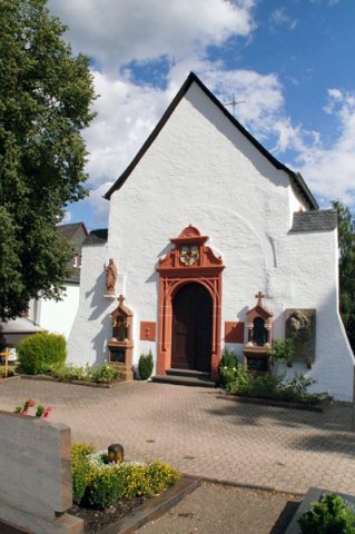 280 m
Chapels
Friedhofskapelle - Außen
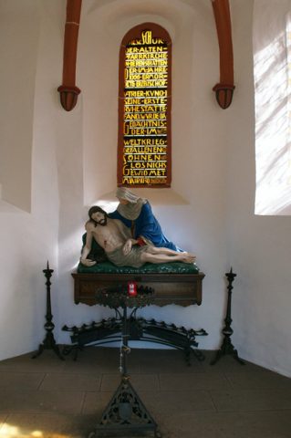 280 m
Chapels
Friedhofskapelle - Innen
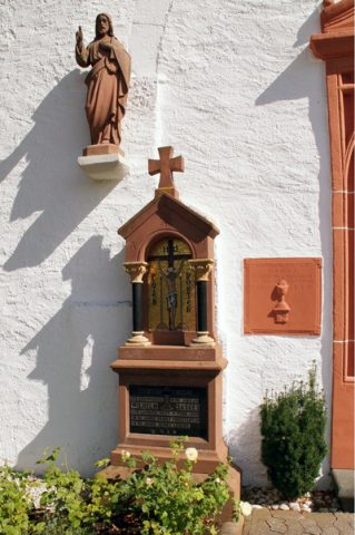 280 m
Burial Sites