Bogs and Mires · Undated
Schwarzerlenbruch


Classification
- Subject area
- Natural Features
- Category
- Bogs and Mires
- Date
- Undatiert
- Period
- Undated
Location
- District
- Trier-Saarburg
- Collective municipality
- Trier-Land
- Municipality
- Welschbillig
- Locality / location
- Möhn
- Field name
- Der Hardtwald
- Coordinates
- WGS 84: 49.837640, 6.622510 (Position: exact) WGS 84: 49° 50′ 15.5″ N, 6° 37′ 21.0″ E UTM 32 (ETRS89): E 329047 · N 5523290
Sources
Data sources
- LANIS - Landschaftsinformationssysten der Naturschutzverwaltung Rheinland-Pfalz, 2015. http://map1.naturschutz.rlp.de/mapserver_lanis/
On the internet
map1.naturschutz.rlp.de/mapserver_lanis
Picture credits
Last edited: 3 Aug 2015 Object ID: 39416
https://kulturdb.de/en/objekt/39416-welschbillig-schwarzerlenbruch
Nearby
The nearest objects
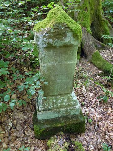 320 m
Wayside Shrines and Stations of the Cross
Unglückskreuz
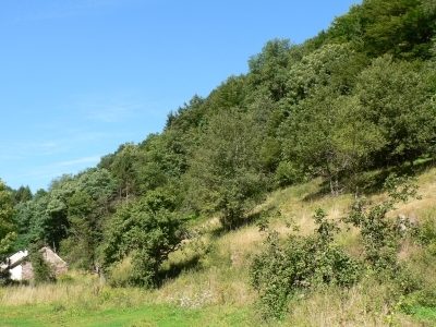 380 m
Ancient Field Systems
Ehemalige Obstplantagen im Latzenberg
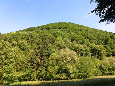 390 m
Field Names
Oben im Latzenberg
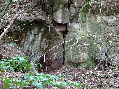 450 m
Extraction and Processing of Raw Materials
Ehemaliger Steinbruch im Haardtwald
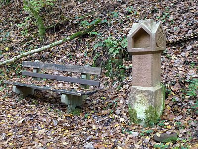 490 m
Wayside Shrines and Stations of the Cross
Sogenanntes Veltenkreuz (1)
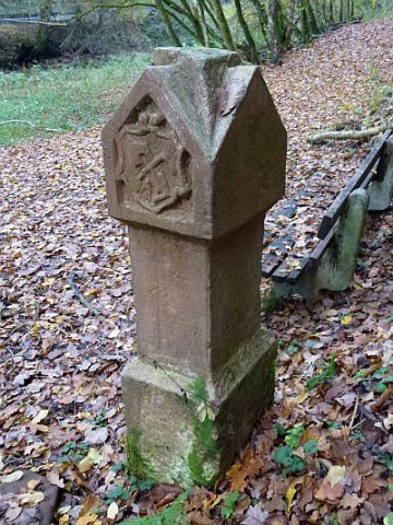 490 m
Wayside Shrines and Stations of the Cross
Sogenanntes Veltenkreuz (2)
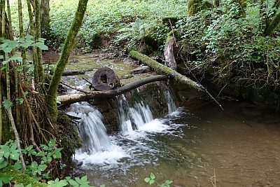 490 m
Mills
Reitzenmühle - Mühlgraben
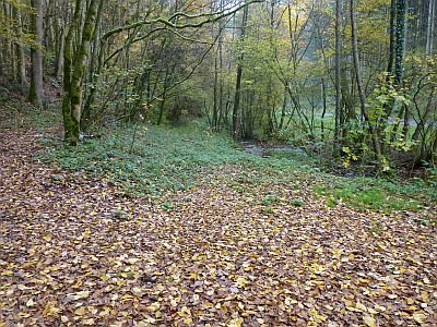 500 m
Street Names