Surveying · Undated
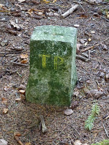
Markstein unter der Geyersley


Description
This description is only available in German.
Translate with Google opens this page in Google Translate (external service)
Inschrift: 96 [1]
Nach dem "Plan Parcellaire de la Commune de Cordel" vom 28. Mai 1810 [Sammlung Richard Schaffner, Kordel, 2015] trennen die Marksteine hier den "Foret Communal dite Auf der Cudbach" [Gemeindewald genannt Auf der Cudbach] von der "Section D dite Rammstein" [Abteilung D genannt Rammstein]. [2]
Classification
- Subject area
- Architectural and Art Monuments
- Category
- Markers and Monuments
- Object type
- Surveying
- Date
- Undatiert
- Period
- Undated
Location
- District
- Trier-Saarburg
- Collective municipality
- Trier-Land
- Municipality
- Kordel
- Locality / location
- Burg Ramstein
- Field name
- Im Reigraben auf der Geislei
- Coordinates
- WGS 84: 49.818500, 6.651000 (Position: exact) WGS 84: 49° 49′ 06.6″ N, 6° 39′ 03.6″ E UTM 32 (ETRS89): E 331029 · N 5521098
Sources
Data sources
- [1] Peter Valerius, Kordel, 2015.
- [2] Plan Parcellaire de la Commune de Cordel" vom 28. Mai 1810 [Sammlung Richard Schaffner, Kordel, 2015]
On the internet
Picture credits
Last edited: 26 Oct 2015 Object ID: 39489
https://kulturdb.de/en/objekt/39489-kordel-markstein-unter-der-geyersley
Nearby
The nearest objects
 80 m
Viewpoints
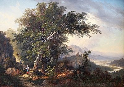
Aussichtspunkt Geyersley
 90 m
Rocks
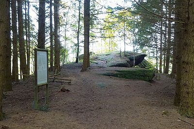
Geyersley - Teufelswand und Teufelsplatte
 100 m
Rocks
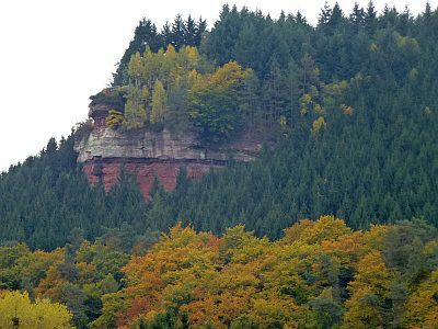
Geyersley - 3. Abschnitt
 100 m
Road Transport
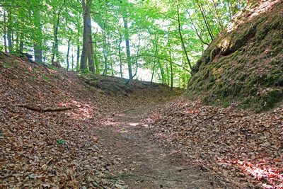
Hohlweg unter der Geyersley
 100 m
Surveying
Geyersley - Trigonometrischer Punkt
 180 m
Field Names
Zwischen der Laufbach und Reigraben
Field Names
Klausengrund - Im Klausengrund
 230 m
Field Names