Rocks · Undated
Geyersley - Teufelswand und Teufelsplatte
Naturdenkmal
- Listed monument


Description
This description is only available in German.
Translate with Google opens this page in Google Translate (external service)
Im Buch 'Die Trierer Schweiz' von Walter Blasius, nennt ein unbekannter Fotograf im Jahre 1940 die Felsformation Teufelswand und Teufelsplatte. [1]
Classification
- Subject area
- Natural Features
- Category
- Rocks
- Date
- Undatiert
- Period
- Undated
Location
- District
- Trier-Saarburg
- Collective municipality
- Trier-Land
- Municipality
- Kordel
- Locality / location
- Burg Ramstein
- Field name
- Im Reigraben auf der Geisley
- Coordinates
- WGS 84: 49.818850, 6.649800 (Position: exact) WGS 84: 49° 49′ 07.9″ N, 6° 38′ 59.3″ E UTM 32 (ETRS89): E 330944 · N 5521140
Sources
Data sources
- [1] Blasius, Walter: Die Trierer Schweiz'. Eigenverlag Walter Blasius, 2017. [1]
On the internet
Picture credits
- Picture 1: © Peter Valerius, Kordel, 2015.
- Picture 2: © Peter Valerius, Kordel, 2015.
- Picture 3: © Mona Idems, Kordel, 2017.
- Picture 4: © Peter Valerius, Kordel, 2015.
- Picture 5: © Peter Valerius, Kordel, 2015.
- Picture 6: © Volkskunde- und Freilichtmuseum Roscheider Hof ; Licence: CC0 (https://creativecommons.org/publicdomain/zero/1.0/)
Last edited: 1 Oct 2021 Object ID: 45742
https://kulturdb.de/en/objekt/45742-kordel-geyersley-teufelswand-und-teufelsplatte
Nearby
The nearest objects
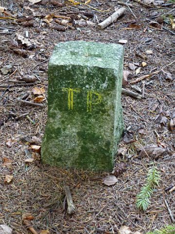 less than 10 m
Surveying
Geyersley - Trigonometrischer Punkt
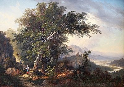 20 m
Viewpoints
Aussichtspunkt Geyersley
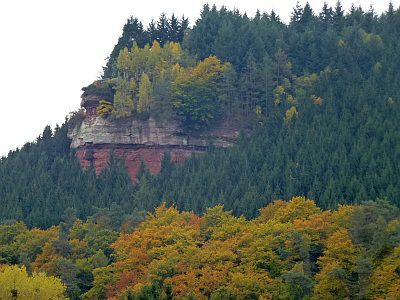 20 m
Rocks
Geyersley - 3. Abschnitt
No picture
90 m
Rocks
Geyersley - 2. Abschnitt
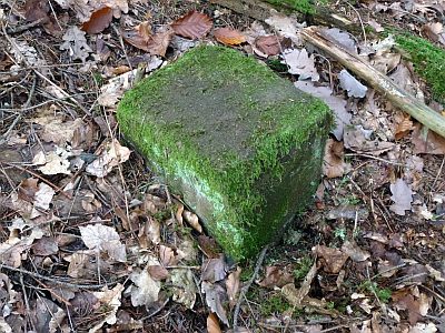 90 m
Surveying
Markstein unter der Geyersley
 120 m
Field Names
Zwischen der Laufbach und Reigraben
 140 m
Rocks
Geyersley - 1. Abschnitt
 160 m
Fountains and Wells