Street Names · Undated
Kasselburger Weg


© GeoBasis-DE / LVermGeoRP, dl-de/by-2-0
There is no picture of this object yet. Do you have a photo that you would like to make available to the Kulturdatenbank? Submit a picture
Description
This description is only available in German.
Translate with Google opens this page in Google Translate (external service)
Der "Kasselburger Weg" wurde früher "Die annner Sejt" genannt (Die andere Seite). [1]
Classification
- Subject area
- History
- Category
- Place Names / Local History
- Object type
- Street Names
- Date
- Undatiert
- Period
- Undated
Location
- District
- Vulkaneifel
- Town
- Gerolstein
- Street
- Kasselburger Weg
- Field name
- Ortslage
- Coordinates
- WGS 84: 50.224530, 6.661550 (Position: exact) WGS 84: 50° 13′ 28.3″ N, 6° 39′ 41.6″ E UTM 32 (ETRS89): E 333200 · N 5566212
Sources
Data sources
- [1] Wilma Herzog, Gerolstein, 2015.
On the internet
Last edited: 3 Dec 2015 Object ID: 39673
https://kulturdb.de/en/objekt/39673-gerolstein-kasselburger-weg
Nearby
The nearest objects
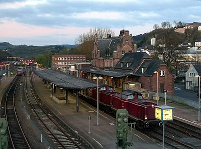 120 m
Railways
Bahnhof - Empfangsgebäude
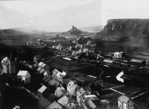 120 m
Railways
Bahnhof
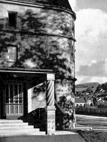 130 m
Railways
Bahnhof - Sandsteinsäule am Eingang
 130 m
Schools
Sankt-Matthias-Gymnasium
 150 m
Monuments
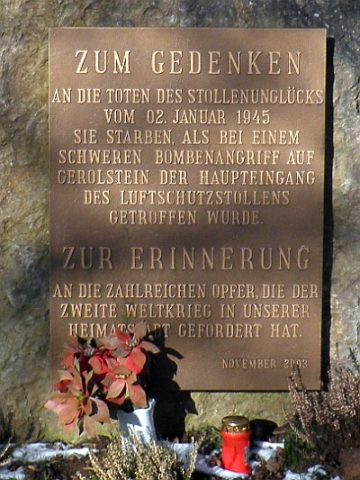
Gedenkstein für das Stollenunglück von 1945
Street Names
Brunnenstraße
 180 m
Washing Places
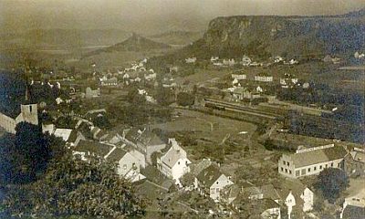
Bleichwiese an der Kyll
 280 m
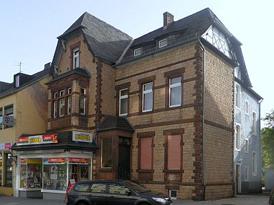
Town Houses and Commercial Buildings