Street Names · Undated
Untere Marktstraße


© GeoBasis-DE / LVermGeoRP, dl-de/by-2-0
There is no picture of this object yet. Do you have a photo that you would like to make available to the Kulturdatenbank? Submit a picture
Description
This description is only available in German.
Translate with Google opens this page in Google Translate (external service)
Mundartlich: "de ennischd Häld". Oberhalb der Flur "In der Held". Beide Marktstraßen führten hinauf zum Marktplatz, wo ab der der Verleihung der Stadtrechte im Jahr 1336, der Markt stattfand. Der Marktplatz wurde zudem bis in die 1950er Jahre als Kirmesplatz genutzt. [1]
Mit "Held" ist eine geneigte, abhängende Stelle gemeint. [2]
Classification
- Subject area
- History
- Category
- Place Names / Local History
- Object type
- Street Names
- Date
- Undatiert
- Period
- Undated
Location
- District
- Vulkaneifel
- Town
- Gerolstein
- Street
- Untere Marktstraße
- Field name
- In der Held
- Coordinates
- WGS 84: 50.221370, 6.660580 (Position: exact) WGS 84: 50° 13′ 16.9″ N, 6° 39′ 38.1″ E UTM 32 (ETRS89): E 333120 · N 5565863
Sources
Data sources
- [1] Wilma Herzog, Gerolstein, 2015.
- [2] Kristin Gresse: Analyse der Flurnamen im Westerwald anhand des Beispiels Rückroth. Erfurt, 2013 http://www.rueckeroth.de/mediapool/63/630397/data/Kristin_Gresse_Ha…
On the internet
Last edited: 3 Dec 2015 Object ID: 39677
https://kulturdb.de/en/objekt/39677-gerolstein-untere-marktstrasse
Nearby
The nearest objects
Street Names
Obere Marktstraße
Field Names
In der Held
Military Hospitals
Ehemaliges Lazarett Bahnhofstraße 28
 100 m
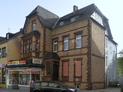
Town Houses and Commercial Buildings
Stattliches Wohnhaus
 100 m
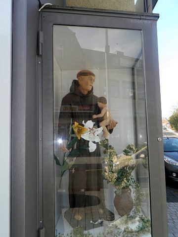
Wayside Shrine Houses
Statue Sankt Antonius von Padua
 120 m
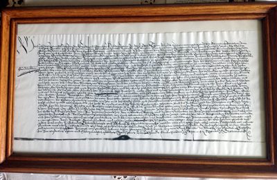
Market Towns
Marktort Gerolstein
 140 m
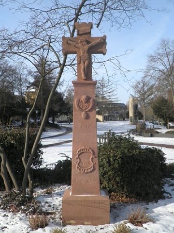
Wayside Shrines and Stations of the Cross
Sogenanntes Schmitze Krejz
 160 m
Works of Art