Street Names · Undated
Bergstraße


© GeoBasis-DE / LVermGeoRP, dl-de/by-2-0
There is no picture of this object yet. Do you have a photo that you would like to make available to the Kulturdatenbank? Submit a picture
Description
This description is only available in German.
Translate with Google opens this page in Google Translate (external service)
Die heute Bergstraße hieß und heißt in Mundart "De Kier" (die Kurve). [1]
Classification
- Subject area
- History
- Category
- Place Names / Local History
- Object type
- Street Names
- Date
- Undatiert
- Period
- Undated
Location
- District
- Vulkaneifel
- Town
- Gerolstein
- Street
- Bergstraße
- Field name
- Unter der Burg
- Coordinates
- WGS 84: 50.221850, 6.667680 (Position: exact) WGS 84: 50° 13′ 18.7″ N, 6° 40′ 03.6″ E UTM 32 (ETRS89): E 333628 · N 5565901
Sources
Data sources
- [1] Wilma Herzog, Gerolstein, 2015.
On the internet
Last edited: 3 Dec 2015 Object ID: 39678
https://kulturdb.de/en/objekt/39678-gerolstein-bergstrasse
Nearby
The nearest objects
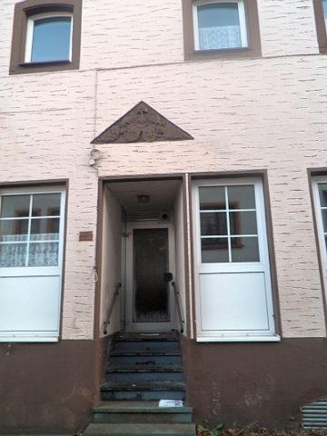 20 m
Historic Townscapes
Wappen der Familie Fisch
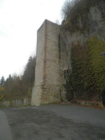 30 m
Water Supply
Ehemaliger Wasserturm, sogenannter Pütz
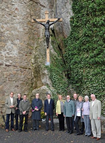 30 m
Wayside Shrines and Stations of the Cross
Holzkreuz am Burgfelsen
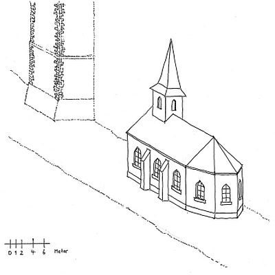 30 m
Chapels
Ehemalige Kapelle im Tal
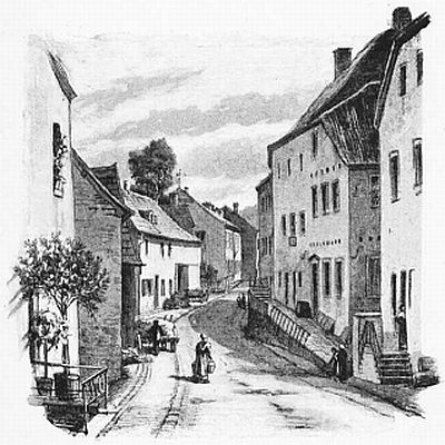 40 m
Historic Townscapes
Hauptstraße
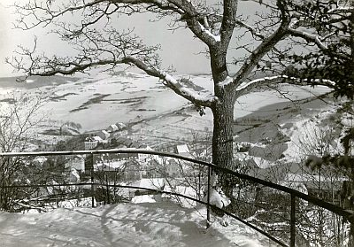 40 m
Viewpoints
Aussichtspunkt Löwenburg - Burg Gerhardstein
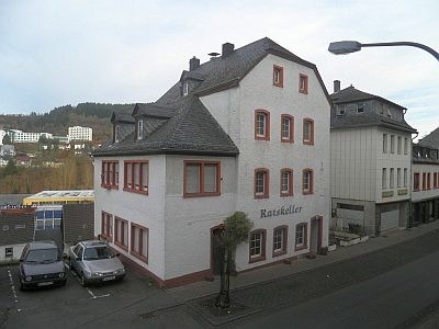 40 m
Catering, Inns and Hotels
Ehemaliges Hotel Koch
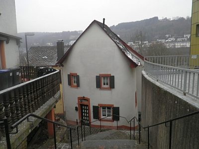 50 m
Town Houses and Commercial Buildings