Street Names · Undated
Burgstraße


© GeoBasis-DE / LVermGeoRP, dl-de/by-2-0
There is no picture of this object yet. Do you have a photo that you would like to make available to the Kulturdatenbank? Submit a picture
Description
This description is only available in German.
Translate with Google opens this page in Google Translate (external service)
Die Burgstraße ist für uns immer noch "De Kirchewääsch" [Der Weg zur Sankt-Anna-Kirche]. [1]
Classification
- Subject area
- History
- Category
- Place Names / Local History
- Object type
- Street Names
- Date
- Undatiert
- Period
- Undated
Location
- District
- Vulkaneifel
- Town
- Gerolstein
- Street
- Burgstraße
- Field name
- Im Wingertsberg
- Coordinates
- WGS 84: 50.221550, 6.663990 (Position: exact) WGS 84: 50° 13′ 17.6″ N, 6° 39′ 50.4″ E UTM 32 (ETRS89): E 333364 · N 5565875
Sources
Data sources
- [1] Wilma Herzog, Gerolstein, 2015.
On the internet
Last edited: 3 Dec 2015 Object ID: 39679
https://kulturdb.de/en/objekt/39679-gerolstein-burgstrasse
Nearby
The nearest objects
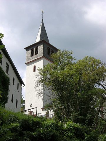 20 m
Catholic Churches
Sankt-Anna-Kirche (1)
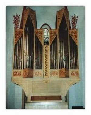 20 m
Organs
Sankt-Anna-Kirche - Orgel
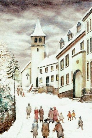 20 m
Catholic Churches
Sankt-Anna-Kirche (2)
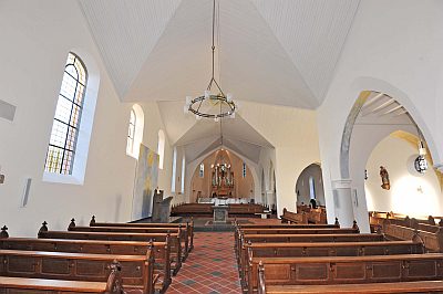 20 m
Catholic Churches
Sankt-Anna-Kirche - Ausstattung
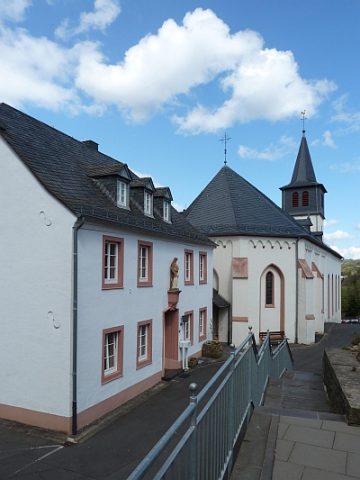 30 m
Rectories
Sankt-Anna-Kirche - Pfarrhaus
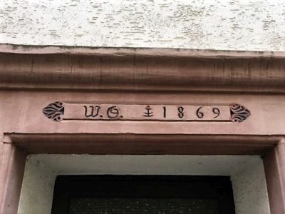 70 m
Town Houses and Commercial Buildings
Hause Kanapin - Türsturz
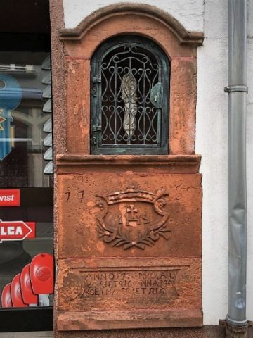 80 m
Wayside Shrine Houses
Heiligenhäuschen am Hause Kanapin
 80 m
Street Names