Wayside Shrines and Stations of the Cross · Undated
Wegekreuz

Description
This description is only available in German.
Translate with Google opens this page in Google Translate (external service)
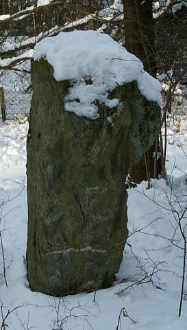
Direkt gegenüber dem Menhir an der Gemeindegrenze zu Heidenburg. Um bösen Zauber zu bannen ? [1]
Classification
- Subject area
- Architectural and Art Monuments
- Category
- Religious Buildings
- Object type
- Wayside Shrines and Stations of the Cross
- Date
- Undatiert
- Period
- Undated
Location
- District
- Bernkastel-Wittlich
- Collective municipality
- Thalfang am Erbeskopf
- Municipality
- Büdlich
- Field name
- Beim Breiten Stein
- Coordinates
- WGS 84: 49.785220, 6.911410 (Position: exact) WGS 84: 49° 47′ 06.8″ N, 6° 54′ 41.1″ E UTM 32 (ETRS89): E 349657 · N 5516844
Sources
Data sources
- [1] Helge Rieder, Konz, 2002.
On the internet
de.wikipedia.org/wiki/B%C3%BCdlich
Picture credits
- Picture 1: © Helge Rieder, Konz, 2002
Last edited: 23 Jun 2013 Object ID: 3976
https://kulturdb.de/en/objekt/3976-buedlich-wegekreuz
Nearby
The nearest objects
 10 m
Standing Stones, Menhirs
Menhir
 280 m
Field Names
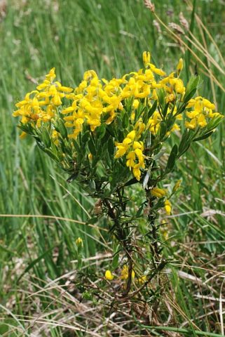
Auf dem Ginsterberg
350 m
Field Names
Im Ginsterberg
Field Names
In der Hostert
Wayside Shrines and Stations of the Cross
Wegekreuz
460 m
Field Names
Vor dem Ginsterberg
 580 m
Wayside Shrines and Stations of the Cross
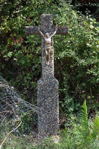
Wegekreuz
 750 m
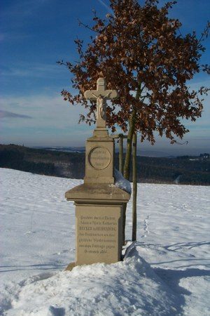
Wayside Shrines and Stations of the Cross