Deserted Settlements · Undated
Wüstung Hof Keifenheim


Classification
- Subject area
- Archaeological Monuments
- Category
- Settlements
- Object type
- Deserted Settlements
- Date
- Undatiert
- Period
- Undated
Location
- District
- Vulkaneifel
- Collective municipality
- Kelberg
- Municipality
- Boxberg
- Field name
- Auf Weltersberg
- Coordinates
- WGS 84: 50.282065, 6.865132 (Position: exact) WGS 84: 50° 16′ 55.4″ N, 6° 51′ 54.5″ E UTM 32 (ETRS89): E 347904 · N 5572173
Sources
Data sources
- [1] Topographische Karte 1:25 000, Landesvermessungsamt Rheinland-Pfalz http://www.lverma.rlp.de
On the internet
vgv-kelberg.de/vg_kelberg/Gemeinden/Boxberg
Picture credits
Last edited: 15 Jan 2002 Object ID: 4004
https://kulturdb.de/en/objekt/4004-boxberg-wuestung-hof-keifenheim
Nearby
The nearest objects
No picture
410 m
Field Names
Im Froschwinkel
No picture
540 m
Field Names
Auf Fröschwinkel
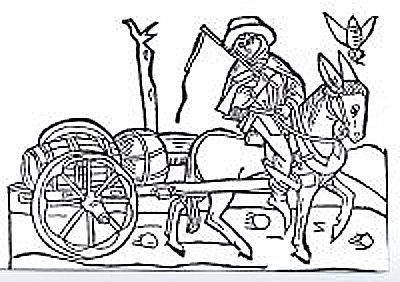 750 m
Road Transport
Weinstraße (2)
No picture
770 m
Field Names
Im Grund
No picture
970 m
Field Names
Auf Hohenrech
No picture
990 m
Field Names
In der Rothweidenwies
No picture
1.0 km
Place Names / Local History
Ortsgeschichte Gelenberg
 1.0 km
Coats of Arms