Field Names · Undated
Hinter der Giebelsheld


© GeoBasis-DE / LVermGeoRP, dl-de/by-2-0
There is no picture of this object yet. Do you have a photo that you would like to make available to the Kulturdatenbank? Submit a picture
Description
This description is only available in German.
Translate with Google opens this page in Google Translate (external service)
Mit "Held" ist eine geneigte, abhängende Stelle gemeint. [1]
Classification
- Subject area
- History
- Category
- Field Names
- Date
- Undatiert
- Period
- Undated
Location
- District
- Vulkaneifel
- Collective municipality
- Gerolstein
- Municipality
- Mürlenbach
- Field name
- Hinter der Giebelsheld
- Coordinates
- WGS 84: 50.134917, 6.615624 (Position: exact) WGS 84: 50° 08′ 05.7″ N, 6° 36′ 56.2″ E UTM 32 (ETRS89): E 329606 · N 5556354
Sources
Data sources
- [1] Kristin Gresse: Analyse der Flurnamen im Westerwald anhand des Beispiels Rückroth. Erfurt, 2013 http://www.rueckeroth.de/mediapool/63/630397/data/Kristin_Gresse_Ha…
On the internet
Last edited: 24 Dec 2015 Object ID: 40154
https://kulturdb.de/en/objekt/40154-muerlenbach-hinter-der-giebelsheld
Nearby
The nearest objects
Field Names
Auf der Hundskaul an der Eichheld
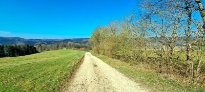 370 m
Field Names
Beim Frauenborn
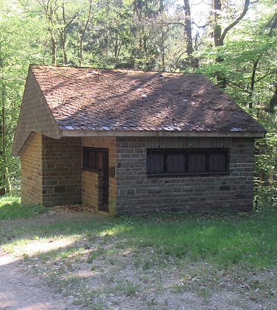 440 m
Water Supply
Pumpstation Kylltal
Field Names
Unter der Hundskaul
Field Names
Kaulenborn
Field Names
Im Kammerborn
Field Names
Hinten im Kammerborn
Field Names