Street Names · 20th Century
Schulstraße

Description
This description is only available in German.
Translate with Google opens this page in Google Translate (external service)
Mundartlich "Fludderecken". Die Straße führt an der alten Schule (1874-1973) vorbei und mündet am Hause Backes-Heck in die Brunnenstraße. [1]
Classification
- Subject area
- History
- Category
- Place Names / Local History
- Object type
- Street Names
- Date
- 1965
- Period
- 20th Century
Location
- District
- Trier-Saarburg
- Collective municipality
- Hermeskeil
- Municipality
- Gusenburg
- Street
- Schulstraße
- Field name
- Ortslage
- Coordinates
- WGS 84: 49.635690, 6.901500 (Position: exact) WGS 84: 49° 38′ 08.5″ N, 6° 54′ 05.4″ E UTM 32 (ETRS89): E 348479 · N 5500241
Sources
Data sources
On the internet
Picture credits
- Picture 1: © Michael Grün, Trier, 2021.
Last edited: 3 Aug 2021 Object ID: 40382
https://kulturdb.de/en/objekt/40382-gusenburg-schulstrasse
Nearby
The nearest objects
Wayside Shrines and Stations of the Cross
Gelöbniskreuz
Street Names
Poststraße
Street Names
Pfarrer-Hermes-Straße
 70 m
Place Names / Local History
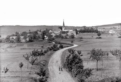
Ortsgeschichte Gusenburg
 70 m
Coats of Arms
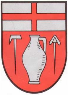
Wappen der Gemeinde Gusenburg
 70 m
Monuments
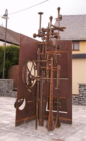
Nagelschmiedendenkmal
Farmhouses and Farm Buildings
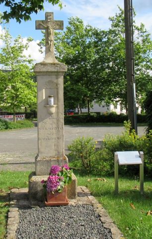
Quereinhaus
 140 m
Wayside Shrines and Stations of the Cross