Street Names · 20th Century
Pfarrer-Hermes-Straße


© GeoBasis-DE / LVermGeoRP, dl-de/by-2-0
There is no picture of this object yet. Do you have a photo that you would like to make available to the Kulturdatenbank? Submit a picture
Description
This description is only available in German.
Translate with Google opens this page in Google Translate (external service)
Der Pfarrer ist von der sogenannten Kulturkampfzeit 1870-1881 her bekannt. Dieser Kampf des Staates gegen die Kirche schlug auf dem Hochwald hohe Wogen. Die Gusenburger haben das mutige Auftreten von Pfarrer Hermes nicht vergessen. Ihm zu Ehren erhielt 1965 eine Straße den Namen "Pfarrer-Hermes-Straße". [1]
Classification
- Subject area
- History
- Category
- Place Names / Local History
- Object type
- Street Names
- Date
- 1965
- Period
- 20th Century
Location
- District
- Trier-Saarburg
- Collective municipality
- Hermeskeil
- Municipality
- Gusenburg
- Street
- Pfarrer-Hermes-Straße
- Field name
- Ortslage
- Coordinates
- WGS 84: 49.636260, 6.901810 (Position: exact) WGS 84: 49° 38′ 10.5″ N, 6° 54′ 06.5″ E UTM 32 (ETRS89): E 348503 · N 5500304
Sources
Data sources
On the internet
Last edited: 11 Dec 2015 Object ID: 40380
https://kulturdb.de/en/objekt/40380-gusenburg-pfarrer-hermes-strasse
Nearby
The nearest objects
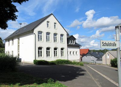 70 m
Street Names
Schulstraße
Wayside Shrines and Stations of the Cross
Gelöbniskreuz
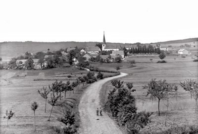 100 m
Place Names / Local History
Ortsgeschichte Gusenburg
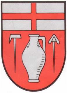 100 m
Coats of Arms
Wappen der Gemeinde Gusenburg
Street Names
Poststraße
Street Names
In der Alwies
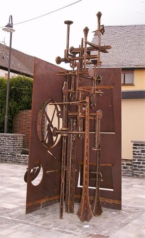 140 m
Monuments
Nagelschmiedendenkmal
Street Names