Street Names · 20th Century
In der Alwies


© GeoBasis-DE / LVermGeoRP, dl-de/by-2-0
There is no picture of this object yet. Do you have a photo that you would like to make available to the Kulturdatenbank? Submit a picture
Description
This description is only available in German.
Translate with Google opens this page in Google Translate (external service)
In der Altwiese; das (t) und das (e) am Ende wäre der Flurbezeichnung näher gekommen. Sehr zu begrüßen, dass dieser Name aufgenommen wurde. Die "Altwiese" wurde einmal im Jahr gemäht. Im Herbst wurde das Vieh darauf getrieben, wozu sie eingezäunt war. [1]
Classification
- Subject area
- History
- Category
- Place Names / Local History
- Object type
- Street Names
- Date
- 1965
- Period
- 20th Century
Location
- District
- Trier-Saarburg
- Collective municipality
- Hermeskeil
- Municipality
- Gusenburg
- Street
- In der Alwies
- Field name
- Hinter der Anwand
- Coordinates
- WGS 84: 49.637150, 6.903110 (Position: exact) WGS 84: 49° 38′ 13.7″ N, 6° 54′ 11.2″ E UTM 32 (ETRS89): E 348599 · N 5500400
Sources
Data sources
On the internet
Last edited: 11 Dec 2015 Object ID: 40379
https://kulturdb.de/en/objekt/40379-gusenburg-in-der-alwies
Nearby
The nearest objects
Street Names
Vogtstraße
Field Names
Hinter der Anwand
Street Names
Pfarrer-Hermes-Straße
Street Names
Mühlenweg
Street Names
Brunnenstraße
 170 m
Works of Art
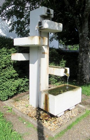
Laufbrunnen in der Brunnenstraße
 200 m
Street Names
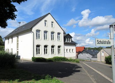
Schulstraße
Wayside Shrines and Stations of the Cross